 West Clare Municipal District: Ennistimon
Among the places of Munster, Lahinch stands out for its Atlantic beach on Liscannor Bay and its longstanding links-golf tradition. On County Clare’s west coast, the town faces the open Atlantic, while Liscannor Bay lies south of the Cliffs of Moher. Lahinch has long been associated with surfing, and its broad strand forms part of the town rather than a separate resort area. Lahinch Golf Club, founded in 1892, is one of Ireland’s established links clubs. Its Old Course was redesigned by the Scottish architect Alister MacKenzie in the 1920s. Lahinch also lies on the Wild Atlantic Way, the coastal touring route along Ireland’s western seaboard.
Generated by AI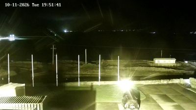

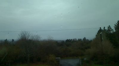

West Clare Municipal District lies between the Atlantic Ocean and the Shannon Estuary in County Clare, Ireland, where limestone country, pasture and a long western seaboard shape the landscape. The district includes the Cliffs of Moher, whose sheer Atlantic-facing edge forms one of Ireland’s most recognisable coastal landmarks, as well as Lahinch, Kilrush and Miltown Malbay. Lahinch is associated with links golf, while Miltown Malbay hosts the annual Willie Clancy Summer School, devoted to traditional Irish music and dance. Inland, coastal routes give way to small farms, local roads and stone boundaries. Continue with other webcams from the area to see how this part of County Clare connects regionally.
1 webcam
Munster stretches from the Atlantic coast and its long peninsulas to Waterford Harbour in the southeast, encompassing rugged shores, fertile pastureland and wide river valleys. The River Shannon and its estuary shape the region around Limerick, while the Blackwater runs through the southern counties. The Dingle and Iveragh peninsulas give western Munster its distinctive Atlantic character, and Killarney National Park is known for its lakes and mountain setting. Inland, the medieval Rock of Cashel remains one of Ireland’s most recognisable historic sites. Move on to other webcams in the region to compare landscapes and settings around Munster.
14 webcams
Atlantic coastline defines much of Ireland — its harbours, pastureland and maritime routes have long supported fishing, farming and trade. The River Shannon crosses the island’s interior, while the west is marked by the Cliffs of Moher and the limestone terrain of the Burren. Dublin combines Georgian streetscapes with institutions such as Trinity College, home to the Book of Kells. Far older still is Newgrange, a Neolithic passage tomb in County Meath whose winter-solstice alignment reflects the island’s prehistoric past. Irish traditional music remains central to pub sessions and festivals, and the Irish language is spoken in designated Gaeltacht areas. Explore nearby webcam locations that provide complementary perspectives on Ireland’s Atlantic coast and inland towns.
34 webcams