 Sainte Agathe: Ste. Agathe
Built around a French-Canadian parish, Sainte-Agathe grew into a rural community on the Red River in southern Manitoba. It stands on Highway 75, the provincial route linking Winnipeg with the United States border, amid the broad agricultural plain of the Red River Valley. Its French name and Catholic parish tradition reflect the long-established Franco-Manitoban presence in this part of the province. The 1997 Red River flood was a defining event for Sainte-Agathe, which was among the communities affected by the inundation. Today, low-rise homes, local businesses and roadside services give the settlement a practical role for nearby farms and for traffic travelling south from Winnipeg.
Generated by AI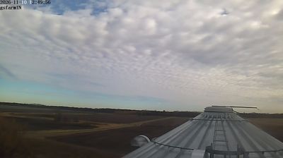

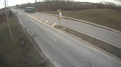

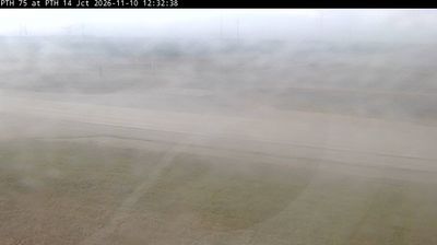
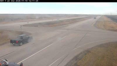

Sainte Agathe lies along the Red River in southern Manitoba, where a wide, level floodplain is shaped by farmland, drainage channels and shelterbelts. Part of the Rural Municipality of Ritchot, it belongs to the francophone belt of communities south of Winnipeg, and its name recalls the Catholic parish around which the settlement developed. The river has brought both fertile land and flood risk: Sainte Agathe was severely affected during Manitoba’s major Red River flood of 1997. Highway 75 links the community with Winnipeg and the Canada–United States border route, while the surrounding valley retains a distinctly agricultural character. Discover nearby webcam locations for complementary perspectives on Sainte Agathe and the Red River Valley.
1 webcam
Manitoba occupies a broad central belt in Canada. Prairie farmland in the south gives way to boreal forest, the rocky Canadian Shield and a long Hudson Bay coast in the north. Lake Winnipeg, one of Canada’s largest freshwater lakes, is a defining feature, while major rivers including the Nelson drain toward Hudson Bay. Winnipeg, the provincial capital, stands at the meeting of the Red and Assiniboine rivers; The Forks there has long been an important gathering and trading place. Manitoba’s communities reflect enduring First Nations, Métis and Inuit connections alongside its settler history. View additional webcams nearby to better understand how Manitoba relates to the Canadian interior and Hudson Bay.
23 webcams
Canada has served as a frontier between French and British colonial powers since the 17th century. The world’s second-largest country extends from Atlantic shores to the Pacific and Arctic coasts, with the Canadian Shield, the Rocky Mountains, the Great Lakes and the St. Lawrence River shaping its vast geography. First Nations, Inuit and Métis peoples are central to Canada’s identity, while Ottawa’s Parliament Hill represents its federal political life. French remains the official language of Quebec, adding a distinct dimension to the country’s public culture. See how Canada connects across North America by browsing webcams in neighbouring regions.
3.5K webcams