 Santa Cilia: Santa Cilia-Los Pirineos Airport
Santa Cilia–Los Pirineos Airport sits in the Aragón River valley in Aragon, Spain, where the western Pyrenees frame a broad strip of farmland between mountain slopes. The airfield serves general aviation in the Jacetania comarca, a historic Pyrenean district whose principal town, Jaca, lies nearby. Jaca developed on the Camino Aragonés, one of the routes of the Way of St James, and its 11th-century cathedral is a major early Romanesque monument. The medieval monastery of San Juan de la Peña, set beneath an overhanging rock south of Jaca, is another defining historic site in this part of Aragon. The valley links settled communities with the rugged uplands of the western Pyrenees.
Generated by AI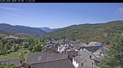
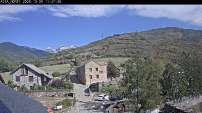
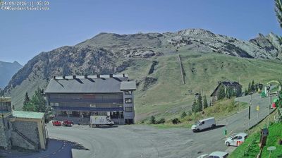
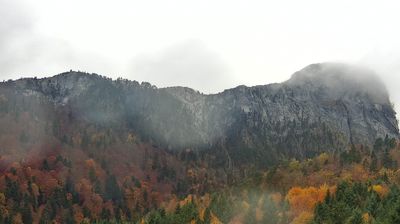
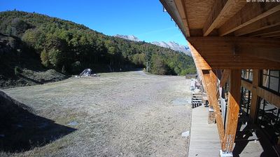

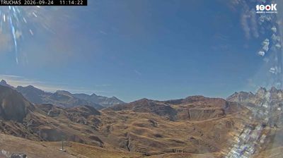

Built around the medieval monastery of Santa Cecilia, Santa Cilia grew into a small settlement beside the Aragón River in Aragon’s Jacetania district. The village stands on the Aragonese Way, the Pyrenean branch of the Camino de Santiago that enters Spain through Somport Pass and continues towards Jaca. Foothills of the central Pyrenees, cultivated land and riverbank terrain define its rural setting. Nearby Jaca brings major heritage to the valley, including its Romanesque cathedral and the Citadel of Jaca. Explore nearby webcam locations that provide complementary perspectives on the Aragón Valley and the central Pyrenees.
1 webcam
Aragon combines the dry plains of the Ebro basin with high Pyrenean terrain in a way that reflects its position between central Spain and the French border mountains. Zaragoza, the regional capital on the Ebro River, is anchored by the Basilica of Our Lady of the Pillar and the Aljafería Palace, a major example of Islamic architecture in Spain. Beyond the city, the region extends from cultivated lowlands to the Pyrenees, where valleys and protected mountain areas shape a markedly different climate and settlement pattern. Aragonese identity is also expressed through distinctive Mudéjar architecture, recognised by UNESCO in several towns. Continue with other webcams from the area to see how this part of northeastern Spain connects regionally.
34 webcams
Spain extends from the Cantabrian coast to the Canary Islands, encompassing Atlantic shores, Mediterranean beaches and the broad interior Meseta. The Pyrenees form its northeastern frontier, while the Guadalquivir crosses Andalusia on its way to the Atlantic. Madrid anchors the country’s political and cultural life, but distinct regional identities are central to Spain’s character: Catalonia, the Basque Country, Galicia and Andalusia each have their own languages or strong local traditions. Granada’s Alhambra is a major monument of the medieval Nasrid dynasty, and Santiago de Compostela remains the destination of the Camino de Santiago. Browse related webcams around the Iberian Peninsula to build a fuller picture of Spain.
1.3K webcams