 Myslowice: Centrum: Katowicka - Krakowska
Among the cities of the Silesian Voivodeship, Mysłowice stands out for its position at the meeting of the Black and White Przemsza rivers, which form the Przemsza. This Upper Silesian city belongs to the densely connected Katowice urban area, shaped by industry, railways and coal mining. Near the river confluence lies the Three Emperors’ Corner, where the borders of the Austrian, Prussian and Russian states met between 1846 and 1915. Mysłowice’s built-up centre combines major streets, older townhouses and residential districts, illustrating the close-knit urban character of Poland’s historic industrial heartland.
Generated by AI
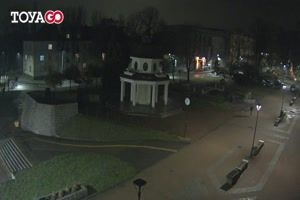
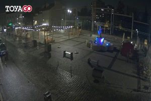
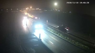
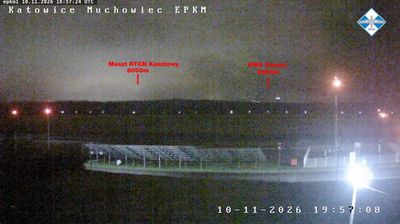

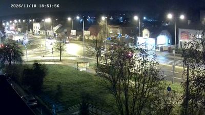
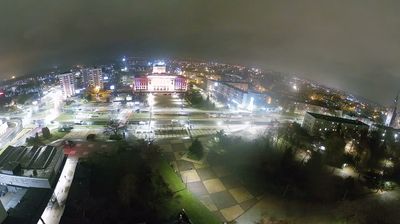
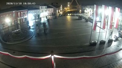


The confluence of the Black and White Przemsza defines the setting of Mysłowice — the rivers meet on the city’s eastern side to form the Przemsza, while dense urban districts connect it with the Upper Silesian conurbation. Near this meeting point stands the Three Emperors’ Corner, where the borders of Prussia, Austria and Russia met from 1846 until the First World War. Coal mining also helped shape Mysłowice’s modern identity, linking it to the industrial story of the Silesian Voivodeship. Find related webcams in Upper Silesia and the surrounding area to build a fuller picture of Mysłowice.
3 webcams
Among Poland’s voivodeships, the Silesian Voivodeship stands out for its densely populated industrial heartland framed by the Kraków-Częstochowa Upland and the Beskids. Katowice anchors a large urban area whose coal, steel and manufacturing traditions helped shape modern Poland. To the north, Częstochowa is home to the Jasna Góra monastery, a major pilgrimage destination associated with the revered icon of the Black Madonna. The Vistula, Poland’s longest river, rises in the Silesian Beskids near the southern border, where the region shifts into forested mountain country. Explore nearby webcam locations that provide complementary perspectives on the Silesian Voivodeship.
82 webcams
Poland stretches from the Baltic Sea coast in the north to the Carpathian Mountains along its southern frontier, encompassing broad lowlands, lake districts and upland ranges. The Vistula, the country’s longest river, links Kraków and Warsaw before reaching the Baltic near Gdańsk, while the Masurian Lake District is defined by a dense network of lakes. Kraków’s historic centre, including Wawel Castle, recalls Poland’s former royal capital; Warsaw’s rebuilt Old Town speaks to the city’s recovery after the Second World War. The Białowieża Forest preserves one of Europe’s last primeval lowland forests and is home to European bison. Follow how Poland’s regions relate to one another by browsing webcams across the country.
718 webcams