 Hollola: Tie 12 - Okeroinen - Tampereelle
Built around its medieval parish church, Hollola grew into a municipality spread across the Salpausselkä ridge country west of Lahti. Lake Vesijärvi forms part of its eastern side, while Okeroinen has the open fields, woodland and transport corridors typical of southern Finland’s inland countryside. National Road 12 crosses this part of the municipality, connecting the Lahti area with Tampere and western Finland. Hollola’s stone Church of St Mary, dating from the late 15th century, stands in the historic church village and remains one of the area’s defining medieval buildings. The municipality brings together long-settled rural districts and Lahti’s expanding urban fringe.
Generated by AI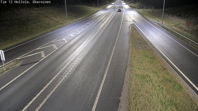
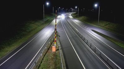
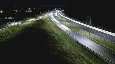
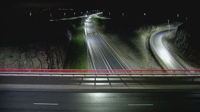
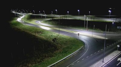
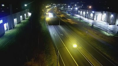
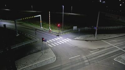
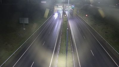
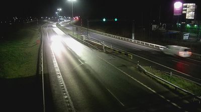
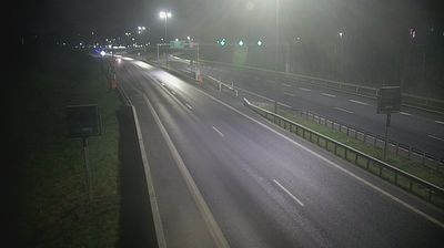

Tucked between Lake Vesijärvi and the wooded Salpausselkä ridges of southern Finland, Hollola is a place whose character is shaped by the lake country surrounding Lahti. The municipality lies in Päijät-Häme, where glacial landforms, forest and water define the regional setting. In the historic church village stands Hollola Church, a late-15th-century stone church and a notable example of Finland’s medieval ecclesiastical architecture. Lake Vesijärvi connects the area with Lahti’s waterfront, while the surrounding terrain lends itself to walking, cycling and time outdoors by the water. Browse additional webcams from the surrounding area to extend your view of Päijät-Häme.
3 webcams
Lake Päijänne and the Salpausselkä ridges define much of Päijät-Häme - waterways, forests and settled shores shape daily life, outdoor recreation and the regional economy. Lahti, the regional centre, stands beside Lake Vesijärvi, while the Vääksy Canal links its waters with Lake Päijänne. The Salpausselkä ridges are prominent glacial formations that give the area its rolling relief. Lahti is closely associated with Nordic skiing and has hosted the FIS Nordic World Ski Championships several times; its ski-jumping towers remain a familiar local landmark. Beyond the city, boating, summer cottages, farmland and wooded lake shores mark the transition towards Finland’s interior. Find related webcams in the surrounding area to build a fuller picture of Päijät-Häme.
47 webcams
The terrain of Finland ranges from low coastal plains along the Gulf of Bothnia to fells in Lapland, creating a country of forests, lakes and long northern distances. More than 180,000 lakes shape everyday life, while the Lakeland region is threaded with waterways and islands. Helsinki, on the Gulf of Finland, combines neoclassical landmarks around Senate Square with contemporary Finnish design. Farther north, the Sámi are Finland’s only recognised Indigenous people, and their culture remains closely connected to the Arctic region. In winter, snow and ice transform the north; in summer, long daylight extends outdoor life well into the evening. Continue through nearby webcams to explore different parts of Finland.
1.7K webcams