 Velsen
 combines North Sea industry with marina life in a way that reflects its position at the mouth of the North Sea Canal. The municipality includes IJmuiden, the port town built beside the canal’s sea entrance, where docks, breakwaters and shipping infrastructure meet the Dutch coast. The canal was cut through the dunes in the 19th century to give Amsterdam a direct route to the sea, and it remains an important passage for commercial vessels. At Marina Seaport IJmuiden, sailing boats occupy sheltered basins close to the harbour approaches. Beyond the port, the beaches and dune reserves of the Kennemerland coast form a marked counterpoint to this engineered waterfront.
Generated by AI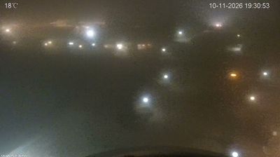
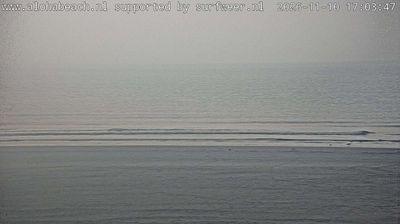
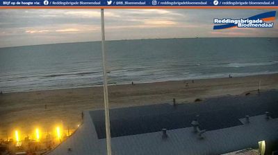



Velsen combines a working industrial waterfront with a dune-lined coast in a way that reflects its position at the mouth of the North Sea Canal. The canal links Amsterdam’s port with the North Sea, while the IJmuiden lock complex gives the area a constant maritime presence. The 500-metre Zeesluis IJmuiden, opened in 2022, is a major feat of modern Dutch water engineering. Fort Island IJmuiden, south of the canal, forms part of the UNESCO-listed Defence Line of Amsterdam and recalls the waterway’s strategic past. Move on to other webcams in North Holland to compare coastal and canal-side settings around Velsen.
4 webcams
North Holland balances windswept North Sea dunes with carefully managed polder land, reflecting its position between the coast and the IJsselmeer. The province includes Alkmaar, long associated with its traditional cheese market on Waagplein, and extends across landscapes reclaimed from the former Zuiderzee. Canals, dikes and pumping systems are central to daily life here, making settlement and farming possible on land shaped by water management. Broad beaches and protected dunes line the western shore, while inland towns combine old harbours, brick streets and productive farmland. Amsterdam, the provincial capital, contains the UNESCO-listed seventeenth-century canal ring. Find related webcams around North Holland to build a fuller picture of this Dutch coastal province.
27 webcams
Among the countries of northwestern Europe, the Netherlands stands out for its carefully managed lowlands in the Rhine–Meuse–Scheldt delta. Much of the country lies low in relation to the sea, and dikes, dunes, pumps and polders are integral to its everyday geography. The North Sea coast ranges from broad beaches to the Wadden Sea, a tidal area shared with Germany and Denmark. Amsterdam’s 17th-century canal ring recalls an era when Dutch trade connected the republic with ports around the world. Beyond the capital, bicycles, dairy farming, bulb fields and compact historic cities give the country a distinct rhythm. Rotterdam’s port and the Delta Works show how maritime commerce and water engineering remain central. View additional webcams nearby to better understand how the Rhine–Meuse–Scheldt delta relates to its North Sea surroundings.
131 webcams