 Okseo-myeon: 새만금비응공원
Saemangeum Bieung Park lies along South Korea’s Yellow Sea coast, where the built-up Bieung district meets the broad reclaimed shore of the Saemangeum project. This area forms part of Gunsan, a western Korean port city shaped by maritime trade, industry and coastal engineering. Bieung Port and wide approach roads give the district a practical, working character, with low-rise commercial and service buildings lining multilane streets. Nearby, the 33.9-kilometre Saemangeum Seawall connects the Gunsan and Buan sides of the project and ranks among the world’s longest sea dikes. The scheme has converted former tidal flats into new land, water-control infrastructure and transport corridors, making Bieung an informative point on Korea’s extensively altered west coast.
Generated by AI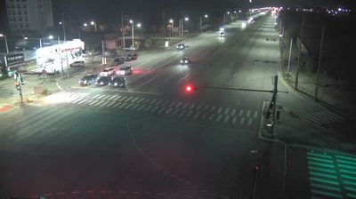
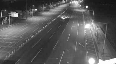

The Yellow Sea defines the setting of Okseo-myeon — this low-lying township on Gunsan’s western side is shaped by tidal coastal land and the broad reclaimed terrain of the Saemangeum area. Fields, roads and settlements spread across an open plain rather than a dense urban core, while Gunsan’s port city centre lies farther east. The nearby Saemangeum Seawall is part of one of the world’s largest coastal reclamation projects, radically reshaping the shoreline between Gunsan and Buan. Gunsan also preserves reminders of its early-20th-century role as a colonial-era port, including its former customs house. Browse additional webcams from the surrounding area to extend your view of Jeollabuk-do’s west coast.
3 webcams
Rooted in the fertile Honam Plain and its long-established rice farming, Jeollabuk-do has become a cultural and agricultural centre of southwest South Korea. Its provincial capital, Jeonju, is known for Jeonju Hanok Village, where hundreds of traditional Korean houses remain, and for bibimbap, one of the country’s best-known dishes. Gyeonggijeon Shrine preserves a portrait of King Taejo, founder of the Joseon dynasty, connecting the city to the royal Yi family. Beyond the urban streets, the Mangyeong and Dongjin river basins spread across the plain, while Naejangsan National Park is associated with autumn foliage. Find related webcams around Jeonju and wider Jeollabuk-do to gain a fuller picture of this southwestern province.
6 webcams
South Korea stretches from the mountainous border with North Korea to Jeju Island, encompassing forested ranges, fertile river basins and a deeply indented southern coast. The Taebaek Mountains run along much of the east, while the Han River crosses Seoul before reaching the Yellow Sea. Busan faces the Korea Strait, and tidal flats and islands shape the country’s western shore. Seoul combines dense contemporary districts with royal Joseon sites, including Gyeongbokgung Palace, first built in 1395. Kimchi and bibimbap are central to everyday cuisine, while the Korean alphabet, Hangeul, was created in the 15th century. Find related webcams in the surrounding area to build a fuller picture of South Korea’s coasts, mountains and cities.
163 webcams