 Tomblaine: Aérodrome de Nancy-Essey
Aérodrome de Nancy-Essey is best known in northeastern France for serving general aviation around Nancy. On the eastern side of the Nancy urban area, the airfield occupies level ground between Tomblaine and Essey-lès-Nancy, with a paved runway and open approaches typical of a regional flying field. Identified by ICAO code LFSN, it supports activity beyond the scheduled-airline network, including private and training aviation. The nearby Meurthe River runs through the Nancy area, whose identity is anchored by Place Stanislas, an 18th-century square included in UNESCO’s World Heritage listing. The setting connects an operational airfield with Lorraine’s historic capital and its metropolitan surroundings.
Generated by AI
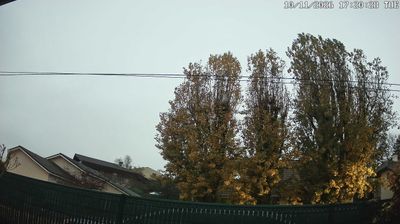

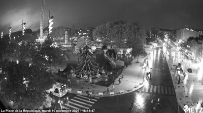
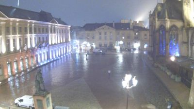

Tucked along the Meurthe on Nancy’s eastern edge, Tomblaine is a place whose character is shaped by its low-lying river plain and close ties to the Grand Nancy urban area. Although it is a separate commune, bridges and major routes link it closely with the historic city across the river. Stade Marcel-Picot, home ground of AS Nancy Lorraine, gives Tomblaine a prominent role in the region’s football culture. The surrounding Meurthe valley forms part of the wider landscape between Nancy and the Moselle. Continue with other webcams from the area to see how this part of Grand Est connects regionally.
1 webcam
Grand Est is best known in France for the Champagne vineyards that sustain one of the country’s most celebrated wine traditions. Extending from the Ardennes to Alsace on the German border, this large eastern region unites the historic territories of Alsace, Champagne-Ardenne and Lorraine. The Moselle runs through Lorraine, while the Rhine shapes much of the eastern frontier. Strasbourg, the regional capital, is home to the European Parliament and its celebrated Gothic cathedral; nearby Nancy is distinguished by the UNESCO-listed Place Stanislas. Continue through nearby webcams to explore different parts of Grand Est.
103 webcams
The Atlantic and Mediterranean coastlines, together with the Alps, Pyrenees and broad river basins, define much of France — they support maritime trade, farming, wine regions and travel throughout the year. The Seine runs through Paris, where the Eiffel Tower and the Louvre are among Europe’s most recognised landmarks. The Loire Valley is known for Renaissance châteaux, while Mont-Saint-Michel rises from a tidal bay in Normandy. Regional food traditions are equally distinctive, from Breton seafood to Provençal cooking, with bread, cheese and wine central to everyday life. France’s global cultural influence is evident in its language, literature, fashion and cinema. View additional webcams nearby to better understand how France’s coasts, plains and mountain borders relate to their surroundings.
1.8K webcams