 Wortegem-Petegem
 is best known within Flanders for its open agricultural countryside on the northern edge of the Flemish Ardennes. This East Flanders municipality lies close to the Scheldt valley, where broad fields, farmsteads and small settlements follow gently rolling ground. It was created in 1977 through the merger of Wortegem, Petegem-aan-de-Schelde, Elsegem, Moregem and Ooike, while each village has retained its own local identity. Arable land remains a defining feature of the area, setting it apart from Belgium’s more densely built urban corridors. Hedges, tree lines and field tracks break up the long horizons, while the Scheldt remains an important geographical presence, particularly around Petegem-aan-de-Schelde.
Generated by AI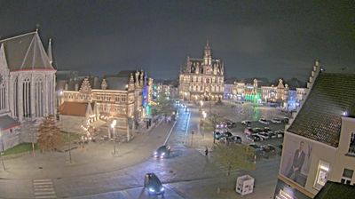
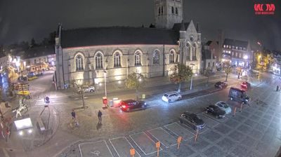


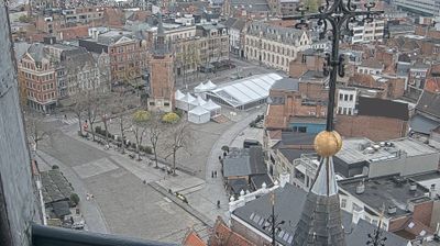

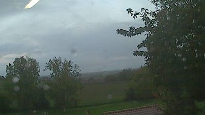
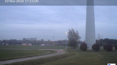

Wortegem-Petegem straddles the gently rolling divide between the Scheldt and Leie valleys in the Flemish Ardennes, a setting that has kept its villages closely tied to farming and inland East Flanders. The municipality brings together Wortegem, Petegem-aan-de-Schelde, Elsegem, Moregem and Ooike, communities consolidated in Belgium’s 1977 municipal reorganisation. Fields, hedgerows and dispersed farmsteads define the area more than dense development, while the nearby Scheldt valley runs towards Oudenaarde, a historic town renowned for tapestry weaving. Its undulating lanes belong to the cycling country of the Flemish Ardennes, a region closely associated with classic road racing. Continue with other webcams from the area to see how this part of the Flemish Ardennes connects regionally.
1 webcam
Flanders occupies the low-lying northern half of Belgium. Its terrain runs from the North Sea coast and reclaimed polders to fertile river plains, with the Scheldt linking cities and ports before reaching the sea in the Netherlands. Dutch is the principal language, and the region's historic towns retain a strong civic identity: Bruges is known for its medieval centre, while Antwerp developed into one of Europe’s major port cities and a global diamond-trading centre. Flemish painting, lace-making and beer brewing remain central to the cultural story, alongside a contemporary design and food scene. Continue through nearby webcams to explore different parts of Flanders.
49 webcams
Belgium occupies a low-lying North Sea coastline and river plain in northwestern Europe. Dutch-speaking Flanders lies largely to the north, while French-speaking Wallonia reaches south towards the wooded Ardennes; Brussels is officially bilingual. The Scheldt and Meuse have long connected Belgian cities with the North Sea and continental Europe. Brussels’ Grand-Place, framed by ornate guildhalls and the Town Hall, is a UNESCO World Heritage site. Medieval Bruges retains canals and merchant architecture, while Antwerp remains a major port on the Scheldt. Belgian beer culture is recognised by UNESCO as intangible cultural heritage. See how Belgium connects with the North Sea coast and neighbouring regions by browsing webcams nearby.
99 webcams