 Topeka: I-70 at 10th Street MP 363
The Kansas River defines the setting of Topeka — its broad valley crosses northeastern Kansas, with most of the state capital extending along the river’s south bank. Topeka has served as Kansas’s capital since statehood in 1861, and the domed Kansas State Capitol remains a defining civic landmark. The city is also closely associated with Brown v. Board of Education, the 1954 US Supreme Court decision against racial segregation in public schools; the former Monroe Elementary School is preserved as a National Historic Site. Broad road corridors, low-rise neighbourhoods and green space give this Great Plains capital a spacious urban character.
Generated by AI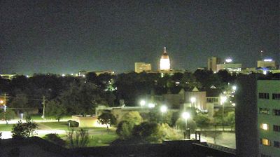
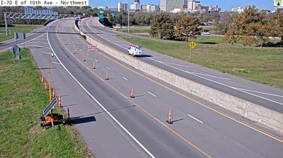
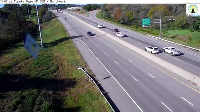


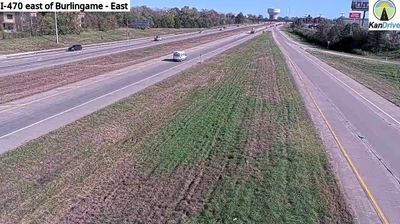
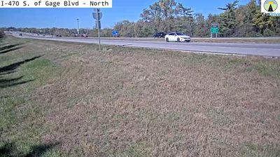

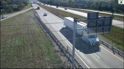

Topeka sits on the Kansas River in northeastern Kansas, United States, where the river valley opens across the grassland plains of the state’s east. As Kansas’s capital, it is centred on the Kansas State Capitol, built between 1866 and 1903 and crowned by a 306-foot dome. Topeka also holds an important place in US civil-rights history: the 1954 Brown v. Board of Education Supreme Court ruling grew from a school desegregation case brought by local families. The Brown v. Board of Education National Historical Park preserves Monroe Elementary School, a site tied to that struggle. Continue with other webcams from the area to see how this part of Kansas connects regionally.
15 webcams
The terrain of Kansas ranges from rolling hills in the east to High Plains grassland in the west, creating a broad, open state shaped by prairie and long river valleys. This central area lies within the agricultural heartland, where wheat fields and cattle country extend across the plains. The Arkansas River follows a wide course through central and southern Kansas, while the Flint Hills to the east preserve one of North America’s largest remaining expanses of tallgrass prairie. Kansas also holds an important place in US civil-rights history: the Brown v. Board of Education case began in Topeka. Explore other webcams from the area to see how this part of Kansas connects across the state.
386 webcams
The Atlantic, Pacific and Gulf coasts define much of the United States — their ports, fisheries and trade routes have long tied the country’s economy to the wider world. Between them, the Rocky Mountains, Great Plains and Mississippi River basin form sharply different regions, from high western ranges to broad agricultural heartlands. Cities carry much of the national story: New York’s Statue of Liberty, a gift from France dedicated in 1886, remains an enduring symbol, while Washington, DC concentrates major federal institutions. Indigenous nations have shaped these lands for millennia, and their living cultures remain essential to the country’s identity. Find related webcams in the surrounding areas to build a fuller picture of the United States.
32K webcams