 Vitkovice: Vrbatova Bouda
Vrbatova Bouda sits at Zlaté návrší in Czechia’s Krkonoše Mountains, where open alpine meadows meet the upper forest belt. The mountain hut stands near the source area of the Elbe, amid a protected highland of rounded ridges, hiking paths and mountain roads. Its name honours Václav Vrbata, who died in 1913 while trying to help skier Bohumil Hanč during a mountain race; a memorial to both men stands nearby. This section of Krkonoše National Park is a well-known area for cross-country skiing, while the broad ridge also links routes between the Czech interior and the Polish border.
Generated by AI


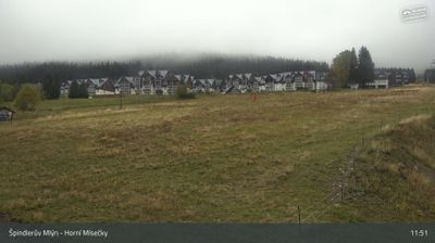





Tucked into the western Krkonoše Mountains, Vítkovice is a place whose character is shaped by the steep, wooded valley of the Jizerka River. The municipality spreads across mountain hamlets and meadows below Kotel, a 1,435-metre peak in the Giant Mountains. Winter sports are part of local life: the Aldrov area is a base for downhill skiing, while the surrounding terrain links with the region’s cross-country routes. Vítkovice also lies close to the protected landscapes of Krkonoše National Park, where mountain forests give way to open upland ground. Browse additional webcams nearby to see how Vítkovice relates to the western Krkonoše.
6 webcams
Liberec Region is best known in Czechia for Ještěd, the mountain above Liberec crowned by its unmistakable hotel and television tower. In the country’s north, the region reaches from the Jizera Mountains towards the Krkonoše and Lusatian Mountains, while the Nisa River runs through Liberec and continues north into Poland and Germany. Liberec, the regional capital, developed as an important textile-manufacturing centre; its 19th-century Town Hall remains one of the city’s defining buildings. Borderland geography gives the area a distinctly Central European character, with mountain resorts, forest roads and historic towns close together. Browse additional webcams from the surrounding area to extend your view of Liberec Region.
110 webcams
The terrain of Czechia ranges from fertile lowlands in southern Moravia to mountain ridges along the northern frontier, giving this Central European country a distinctly varied geography. The Vltava runs through Prague before joining the Elbe, while the Krkonoše form part of the border with Poland and include Sněžka, Czechia’s highest mountain. Prague’s historic centre, with Prague Castle and Charles Bridge, reflects the city’s long role as a political and cultural centre. Beyond the capital, Bohemia is known for spa towns and brewing, and Moravia for wine-growing traditions. View additional webcams nearby to better understand how Czechia relates to its Central European surroundings.
1.4K webcams