 Nagykanizsa
Within Transdanubia’s towns, Nagykanizsa distinguishes itself through its long-standing role as a commercial centre in southwest Hungary. Its compact core is arranged around streets of low-rise civic buildings, shops and homes, while public gardens and squares lend the town a green character. The surrounding countryside forms part of Transdanubia’s gently rolling southwestern margin, within reach of the Mura River lowlands and routes towards Croatia and Slovenia. Nagykanizsa gained strategic importance during the Ottoman wars: after Kanizsa was captured in 1600, it became the seat of the Ottoman Kanije Eyalet. The Thúry György Museum holds archaeological, historical and ethnographic collections relating to the region.
Generated by AI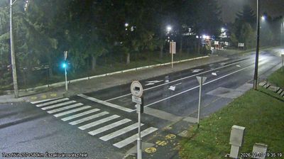

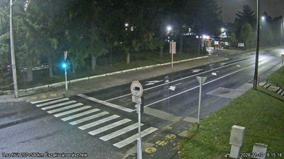






Few cities in Transdanubia have a history as closely tied to the Ottoman-Habsburg frontier as Nagykanizsa. Set in southwestern Hungary near the Croatian and Slovenian borders, it grew at a strategic junction of routes between Central Europe and the Adriatic. The Principális Canal runs through its lowland setting, within the drainage basin of the Zala River. In 1600, Ottoman forces captured the fortress of Kanizsa and made the town the seat of an Ottoman province; Habsburg troops recovered it in 1690. Nagykanizsa still carries the civic character of a long-established commercial centre in southwestern Hungary. Browse additional webcams from southwestern Hungary to extend your view of Transdanubia.
6 webcams
Built around the lands west of the Danube, Transdanubia grew into Hungary’s broad western historical region. This location lies on Lake Balaton’s northern shore near Balatonfüred, where the Balaton Uplands rise behind the water in a mosaic of vineyards, basalt hills and small settlements. Lake Balaton, Central Europe’s largest lake, has long shaped local recreation, agriculture and summer life. Across the bay, the Tihany Peninsula is marked by its Benedictine Abbey, founded in 1055 and associated with one of Hungary’s earliest surviving written records. Continue with other webcams from the area to see how this part of western Hungary connects regionally.
305 webcams
Hungary combines a long urban tradition with expansive lowland horizons in a way that reflects its position within the Carpathian Basin. The Danube runs through Budapest, separating the hills of Buda from the grand boulevards of Pest, where the Hungarian Parliament Building stands on the riverbank. Beyond the capital, the Great Hungarian Plain shapes much of the east, while Lake Balaton, Central Europe’s largest lake, draws summer visitors to its shores. Thermal bathing remains part of everyday life, and the Tokaj region is internationally known for its historic sweet wines. Explore nearby webcam locations that provide complementary perspectives on Hungary.
744 webcams