 Federal Aviation Administration: Sandia Peak Tramway
Sandia Peak Tramway lies along the western face of the Sandia Mountains, where the range rises sharply above Albuquerque and the Rio Grande Valley. Opened in 1966, the aerial tramway links the foothills with a terminal near Sandia Peak at 10,378 feet, following a route of about 2.7 miles. The upper station stands beside the Sandia Peak Ski Area and a network of mountain trails within Cibola National Forest. Forested high ground and steep rock slopes define this side of the range, while Albuquerque spreads across the valley floor below. The name Sandia comes from the Spanish word for watermelon.
Generated by AI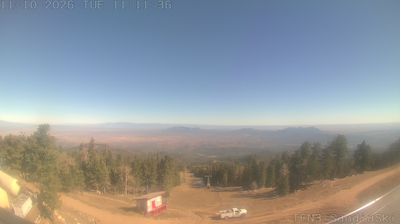

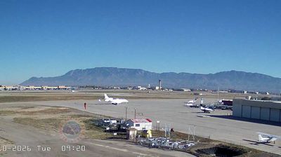



Built along the Rio Grande, Albuquerque grew into New Mexico’s largest city. The Sandia Mountains rise immediately to the east, while the river’s cottonwood bosque forms a green corridor through the desert metropolis. Founded in 1706 as a Spanish colonial settlement, Old Town preserves the original plaza and the San Felipe de Neri Church. On the city’s western mesa, Petroglyph National Monument protects volcanic landscapes marked with ancestral Puebloan and Spanish petroglyphs. Albuquerque is also internationally associated with the annual Albuquerque International Balloon Fiesta, held each autumn. Browse other webcams across Albuquerque and New Mexico to place this setting in a wider geographic context.
2 webcams
High desert, mountain ranges and the Rio Grande valley define much of New Mexico - scarce water, grazing land and irrigated fields have long shaped settlement, ranching and farming. The state spans the southern Rocky Mountains and the Chihuahuan Desert, with the Sangre de Cristo Mountains rising above Santa Fe and the White Sands gypsum dune field lying farther south. Carlsbad Caverns National Park protects an extensive cave system in the southeast. Indigenous presence remains central: New Mexico is home to 19 Pueblo communities, alongside Navajo and Apache traditions. Santa Fe was founded in 1610. Browse other webcams across New Mexico to place its desert basins and mountain ranges in a wider geographic context.
41 webcams
The Atlantic, Pacific and Gulf coasts define much of the United States — their ports, fisheries and trade routes have long tied the country’s economy to the wider world. Between them, the Rocky Mountains, Great Plains and Mississippi River basin form sharply different regions, from high western ranges to broad agricultural heartlands. Cities carry much of the national story: New York’s Statue of Liberty, a gift from France dedicated in 1886, remains an enduring symbol, while Washington, DC concentrates major federal institutions. Indigenous nations have shaped these lands for millennia, and their living cultures remain essential to the country’s identity. Find related webcams in the surrounding areas to build a fuller picture of the United States.
32K webcams