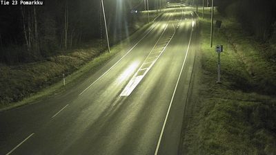
 Merikarvia: Tie 8 Pori, Ahlainen - Vaasaan
Merikarvia has served as a coastal parish in Satakunta since the 17th century. The municipality lies on Finland’s western shore, where the Merikarvianjoki reaches the Bothnian Sea, while its interior is a broad mosaic of conifer forest, fields and scattered settlements. National Road 8, the long north–south route linking Turku with Oulu, passes through this inland landscape near Alakylä. The sea has long shaped local life through fishing and boating, and the river is associated with salmon and sea-trout fishing. Merikarvia’s coast is also edged by low, rocky islands and bays typical of the northern Baltic. Together, the shore and the forested road corridor give this part of Satakunta a distinctly western Finnish character.
Generated by AI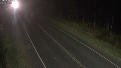

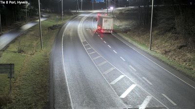




The Bothnian Sea defines the setting of Merikarvia — its low coastline, offshore islands and sheltered inlets have long shaped a community oriented toward fishing and boating. This municipality on Finland’s western coast belongs to Satakunta, north of Pori, where the sea remains an everyday presence rather than a distant horizon. The Merikarvianjoki runs through the area to the coast and is part of the locality’s fishing identity. Merikarvia Church, completed in 1899 to plans by architect Josef Stenbäck, adds a recognised landmark to the centre. Browse other webcams across Satakunta and Finland’s west coast to place Merikarvia in a wider geographic context.
3 webcams
Satakunta stretches from the Gulf of Bothnia to the inland reaches of the Kokemäenjoki River, encompassing a low coastal plain, river valleys and extensive forests. Pori, the region’s largest city, stands near the river’s outlet and is known internationally for the annual Pori Jazz festival. North of the city, Yyteri is recognised for its long sandy beach and dune terrain. Further south, Rauma preserves Old Rauma, a UNESCO World Heritage-listed wooden town centre whose street plan reflects centuries of maritime trade and craftsmanship. Browse additional webcams from the surrounding area to extend your view of Satakunta.
38 webcams
The terrain of Finland ranges from low coastal plains along the Gulf of Bothnia to fells in Lapland, creating a country of forests, lakes and long northern distances. More than 180,000 lakes shape everyday life, while the Lakeland region is threaded with waterways and islands. Helsinki, on the Gulf of Finland, combines neoclassical landmarks around Senate Square with contemporary Finnish design. Farther north, the Sámi are Finland’s only recognised Indigenous people, and their culture remains closely connected to the Arctic region. In winter, snow and ice transform the north; in summer, long daylight extends outdoor life well into the evening. Continue through nearby webcams to explore different parts of Finland.
1.7K webcams