 Kimitoon: Tie 183 - Taalintehdas - Perniöön
Kimitoön lies amid Finland’s Archipelago Sea, where low wooded islands, cultivated fields and scattered settlements shape the southwest coast. Regional Road 183 crosses the main island, linking Kemiö with Taalintehdas, also known by its Swedish name Dalsbruk. The municipality is bilingual, with Swedish and Finnish both used in everyday life. Taalintehdas grew around an ironworks established in 1686 and remains one of the area’s most distinctive historic communities. Ferries and bridges connect Kimitoön with neighbouring islands, while its shores open onto the channels and sheltered waters of this Baltic archipelago.
Generated by AI

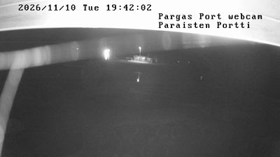
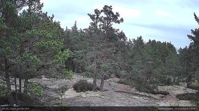
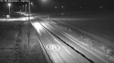

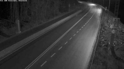

The Archipelago Sea defines the setting of Kimitoon — an island municipality where sheltered channels, wooded shores and ferry links shape movement between the main island and its outer islands. Part of Southwest Finland, the municipality is bilingual, with Swedish and Finnish both present in local life and place names. Kimito’s medieval stone church marks the area’s long settlement history, while Dalsbruk recalls an industrial chapter through its historic ironworks community. This is a Baltic coast of working harbours, summer homes and year-round island services rather than a single urban centre. Continue through nearby webcams to explore different parts of Kimitoon and the Archipelago Sea.
6 webcams
Southwest Finland is best known within Finland for the Archipelago Sea, a vast network of islands and skerries between the mainland and Åland. Turku, on the Aura River, is the region’s principal city and Finland’s oldest city; its medieval cathedral and Turku Castle recall its long importance in the country’s history. Coastal roads, ferries and boating routes connect communities across the archipelago, while inland areas combine farmland, woodland and river valleys. Swedish is widely spoken in parts of the coast, reinforcing the region’s bilingual character. See how Southwest Finland fits within the wider Archipelago Sea by browsing nearby webcams.
104 webcams
The terrain of Finland ranges from low coastal plains along the Gulf of Bothnia to fells in Lapland, creating a country of forests, lakes and long northern distances. More than 180,000 lakes shape everyday life, while the Lakeland region is threaded with waterways and islands. Helsinki, on the Gulf of Finland, combines neoclassical landmarks around Senate Square with contemporary Finnish design. Farther north, the Sámi are Finland’s only recognised Indigenous people, and their culture remains closely connected to the Arctic region. In winter, snow and ice transform the north; in summer, long daylight extends outdoor life well into the evening. Continue through nearby webcams to explore different parts of Finland.
1.7K webcams