 District of Ilava: Hotel Vrsatec
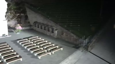
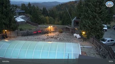
Hotel Vršatec lies along the Vršatská valley in Slovakia’s White Carpathians, beneath the pale limestone crags of the Vršatské bradlá. The mountain complex stands above Vršatské Podhradie near the Czech border, in a terrain of wooded slopes, meadows and exposed rock formations. Nearby, the ruins of medieval Vršatec Castle occupy a rocky prominence and remain a defining historic feature of the area. The surrounding countryside belongs to the White Carpathians Protected Landscape Area, known for its mosaic of woodland and traditionally managed grassland. Rather than a built-up resort, Vršatec retains a quiet upland character shaped by narrow roads, scattered settlements and the Slovak–Moravian border hills.
Generated by AI





The landscape around the District of Ilava is a constricted section of the Váh valley, flanked by the White Carpathians and the Strážovské vrchy, which has shaped settlement, transport links and local industry. The Váh, Slovakia’s longest river, runs north through the district beside the principal rail and motorway corridor linking Bratislava with Žilina. Ilava, the district seat, is known for the former Ilava Castle, a medieval stronghold later converted into a prison. To the south, Dubnica nad Váhom developed as an industrial town, giving this part of the Považie region a distinctly working character. Explore how the District of Ilava connects to the wider Váh valley by browsing webcams nearby.
2 webcams
Shaped by the Váh river corridor and routes through north-western Slovakia, the Region of Trenčín developed into an administrative region of broad valleys, wooded uplands and historic towns. Trenčín, its regional centre, is dominated by Trenčín Castle above the river; the rock below preserves a Latin inscription from the Roman era. The White Carpathians form part of the western borderland, while the Strážov Mountains and Považský Inovec give the interior a more rugged profile. Spa traditions, folk culture and the Váh’s settlement corridor remain central to the region’s identity. See how the Region of Trenčín fits within north-western Slovakia by browsing webcams nearby.
18 webcams
Slovakia is best known internationally for the High Tatras, whose granite summits form the country’s most celebrated mountain landscape. Gerlachovský štít, at 2,655 metres, is the highest peak in Slovakia and in the Carpathians. The Danube runs past Bratislava, where Bratislava Castle stands on a hill above the river, linking the capital to Central Europe’s major waterway. Beyond the cities, forests, karst terrain and small historic towns define much of the country. Slovakia’s long folk tradition is also represented by the fujara, a large shepherd’s flute recognised by UNESCO. Browse additional webcams from the surrounding area to extend your view of the High Tatras and the Danube region.
282 webcams