 Columbus: Sawyer Manor: I-670 EB at MM 5.5, W of Joyce Ave, 2154
The Scioto River defines the setting of Columbus — its broad central Ohio valley has allowed the state capital to spread across a low urban plain of neighborhoods, rail lines and expressways. Interstate 670 crosses the city’s near-north side, linking the downtown freeway network with the route toward John Glenn Columbus International Airport. This corridor lies close to the central business district, where office towers rise beyond older residential blocks. Columbus has been Ohio’s capital since 1816, and the neoclassical Ohio Statehouse remains a focal point downtown. Its street grid, interstate junctions and redevelopment districts reflect the scale and energy of a major Midwestern city.
Generated by AI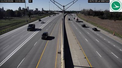



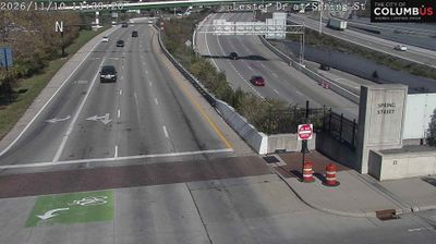
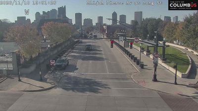
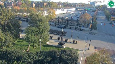

Columbus straddles the Scioto River in central Ohio, a broad lowland corridor that has concentrated its civic core and riverfront parks. As Ohio’s capital, it is defined by the Greek Revival Ohio Statehouse, completed in 1861, and by downtown streets leading toward the Short North arts district. The Scioto Mile links promenades, green space and public gathering places along the water, while nearby German Village preserves a dense 19th-century brick streetscape. Ohio State University adds another major civic and cultural presence north of downtown. Explore nearby webcam locations that provide complementary perspectives on Columbus and central Ohio.
82 webcams
Built around the Ohio River corridor and Lake Erie trade routes, Ohio grew into a major state of the American Midwest. Its terrain extends from the Appalachian foothills in the southeast across fertile central plains to Lake Erie’s northern shore, while the Cuyahoga River passes through Cleveland before entering the lake. Columbus, the state capital, stands near the centre of the state. Cincinnati developed along the Ohio River, and Cleveland’s Rock and Roll Hall of Fame marks the city’s place in American music. Dayton is closely linked with the Wright brothers and the early history of powered flight. Browse additional webcams from the surrounding area to extend your view of Ohio.
1.1K webcams
The Atlantic, Pacific and Gulf coasts define much of the United States — their ports, fisheries and trade routes have long tied the country’s economy to the wider world. Between them, the Rocky Mountains, Great Plains and Mississippi River basin form sharply different regions, from high western ranges to broad agricultural heartlands. Cities carry much of the national story: New York’s Statue of Liberty, a gift from France dedicated in 1886, remains an enduring symbol, while Washington, DC concentrates major federal institutions. Indigenous nations have shaped these lands for millennia, and their living cultures remain essential to the country’s identity. Find related webcams in the surrounding areas to build a fuller picture of the United States.
32K webcams