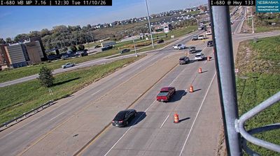
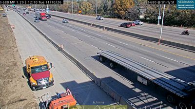
 Omaha: I-680: Maple Street: Various Views
Tucked along the Missouri River valley, Omaha is a place whose character is shaped by eastern Nebraska’s rolling loess hills. The I-680 and Maple Street interchange lies in the western part of the city, where residential districts and commercial areas meet major road corridors. I-680 links this side of Omaha with Interstate 80 and continues north to Interstate 29 in Iowa. Founded in 1854 in the Nebraska Territory, Omaha grew into an important Missouri River trading and transportation center. Construction of Union Pacific’s transcontinental railroad began here in 1863. Its Old Market district retains brick warehouse buildings from the late 19th and early 20th centuries, now used by restaurants, galleries and shops.
Generated by AI

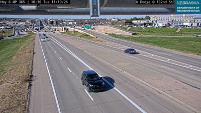
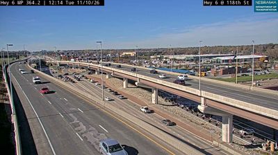
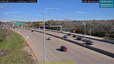
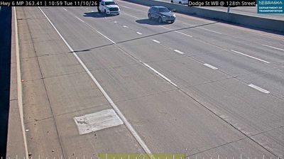



Omaha sits on the Missouri River in eastern Nebraska, where the broad waterway forms the boundary with Iowa. Downtown rises from the riverfront in a city shaped by railroads, meatpacking and the economy of the Great Plains. The Old Market preserves blocks of brick commercial buildings from the late 19th and early 20th centuries, now occupied by independent shops, galleries and restaurants. Union Station, an Art Deco landmark built in 1931, houses The Durham Museum and recalls Omaha’s place in American rail travel. The city is also home to Omaha’s Henry Doorly Zoo and Aquarium, noted for its large indoor habitats. Continue through nearby webcams to explore different parts of Omaha and eastern Nebraska.
43 webcams
Nebraska occupies a broad central stretch of the Great Plains in the United States. The Platte River crosses its southern half, its wide valley long serving as a natural east–west corridor through the prairie. In the north, the Nebraska Sandhills form one of the world’s largest areas of grass-stabilized sand dunes, while western Nebraska becomes drier and more rugged. Much of the Oregon Trail followed the Platte River corridor, linking the state to the great nineteenth-century migration west. Today, working farms, ranches, university cities and expansive open country all remain central to Nebraska’s identity. Explore other webcams in Nebraska to compare prairie, river-valley and Sandhills settings around the state.
328 webcams
The Atlantic, Pacific and Gulf coasts define much of the United States — their ports, fisheries and trade routes have long tied the country’s economy to the wider world. Between them, the Rocky Mountains, Great Plains and Mississippi River basin form sharply different regions, from high western ranges to broad agricultural heartlands. Cities carry much of the national story: New York’s Statue of Liberty, a gift from France dedicated in 1886, remains an enduring symbol, while Washington, DC concentrates major federal institutions. Indigenous nations have shaped these lands for millennia, and their living cultures remain essential to the country’s identity. Find related webcams in the surrounding areas to build a fuller picture of the United States.
32K webcams