 Bullion: I-10 at Bluff Rd
The landscape around Bullion is low, wooded and shaped by Louisiana’s river plain, which has influenced both the built environment and local life. At Bluff Road, Interstate 10 forms a broad divided corridor through the outskirts of Ascension Parish. It is one of southern Louisiana’s principal east–west routes, linking the Baton Rouge area with New Orleans and the wider Gulf Coast network. The Mississippi River flows west of Bullion, while the region’s flat terrain has long supported drainage infrastructure, agriculture and dispersed settlement. Ascension Parish belongs to Louisiana’s sugarcane-growing belt, a farming tradition that remains an important part of its identity. Bullion is defined less by a central streetscape than by its road connections, woodland margins and proximity to the state capital’s metropolitan area.
Generated by AI
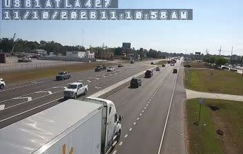
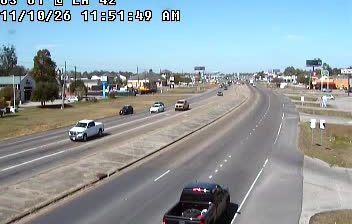
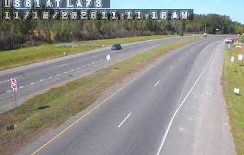

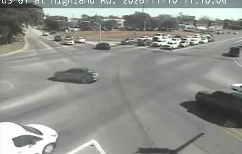


Bullion occupies a low-lying section of the Mississippi River plain in southeastern Louisiana. This small community lies in Ascension Parish, between the urban areas of Baton Rouge and New Orleans, where flat land, drainage channels and humid subtropical conditions shape everyday life. The wider parish has long been connected to the Mississippi River’s agricultural corridor, while Louisiana’s distinctive parish system reflects the state’s French and Catholic colonial heritage. Bullion provides a useful reference point for exploring the settled rural fringe of the state capital’s metropolitan region. Find related webcams in Ascension Parish and southeastern Louisiana to build a fuller picture of Bullion’s surroundings.
1 webcam
Low-lying river plains and wetlands define much of Louisiana - these waterways sustain shipping, fishing and agriculture while shaping settlement across the state. The Mississippi River follows Louisiana’s eastern side on its way to the Gulf of Mexico, while the Atchafalaya Basin is among North America’s largest floodplain wetlands. New Orleans is internationally known for jazz and Mardi Gras, traditions formed through French, African and Caribbean influences. Across the state, Cajun and Creole cooking remains central to local identity, with dishes such as gumbo and crawfish boils widely enjoyed. Explore further points of interest through webcams located across Louisiana.
308 webcams
The Atlantic, Pacific and Gulf coasts define much of the United States — their ports, fisheries and trade routes have long tied the country’s economy to the wider world. Between them, the Rocky Mountains, Great Plains and Mississippi River basin form sharply different regions, from high western ranges to broad agricultural heartlands. Cities carry much of the national story: New York’s Statue of Liberty, a gift from France dedicated in 1886, remains an enduring symbol, while Washington, DC concentrates major federal institutions. Indigenous nations have shaped these lands for millennia, and their living cultures remain essential to the country’s identity. Find related webcams in the surrounding areas to build a fuller picture of the United States.
32K webcams