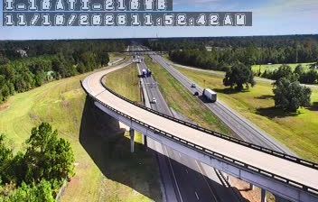
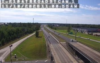
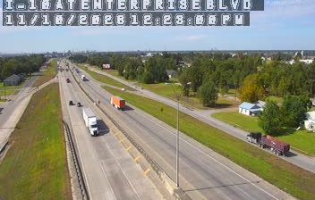
 Lake Charles: I-10 at US 171
Lake Charles is best known within Louisiana for its setting on Lake Charles and the Calcasieu River. The city stands in southwest Louisiana near the Texas border, within a waterway system connected to the Gulf of Mexico. Shipping, energy and petrochemical industries have long shaped the local economy, while the lakefront is also a civic and recreational space. Downtown’s Charpentier Historic District preserves streets of late-19th- and early-20th-century homes, including elaborate Victorian-era examples. Interstate 10 crosses the metropolitan area and meets US 171 here, making Lake Charles an important road link between Gulf Coast travel and routes north through Louisiana.
Generated by AI




Lake Charles straddles the Calcasieu River in southwestern Louisiana, and its connection to the Gulf of Mexico has shaped it as a port and industrial centre. The Calcasieu Ship Channel carries deep-water traffic between the Port of Lake Charles and the Gulf, while the lakefront forms a natural edge to downtown. The city lies in Louisiana’s Creole country, where Cajun and Creole cooking traditions remain central to local dining. Historic City Hall Arts & Cultural Center, housed in a former 1911 city hall, adds a cultural landmark to the centre. Place Lake Charles in its wider Gulf Coast setting by browsing webcams nearby.
12 webcams
Low-lying river plains and wetlands define much of Louisiana - these waterways sustain shipping, fishing and agriculture while shaping settlement across the state. The Mississippi River follows Louisiana’s eastern side on its way to the Gulf of Mexico, while the Atchafalaya Basin is among North America’s largest floodplain wetlands. New Orleans is internationally known for jazz and Mardi Gras, traditions formed through French, African and Caribbean influences. Across the state, Cajun and Creole cooking remains central to local identity, with dishes such as gumbo and crawfish boils widely enjoyed. Explore further points of interest through webcams located across Louisiana.
308 webcams
The Atlantic, Pacific and Gulf coasts define much of the United States — their ports, fisheries and trade routes have long tied the country’s economy to the wider world. Between them, the Rocky Mountains, Great Plains and Mississippi River basin form sharply different regions, from high western ranges to broad agricultural heartlands. Cities carry much of the national story: New York’s Statue of Liberty, a gift from France dedicated in 1886, remains an enduring symbol, while Washington, DC concentrates major federal institutions. Indigenous nations have shaped these lands for millennia, and their living cultures remain essential to the country’s identity. Find related webcams in the surrounding areas to build a fuller picture of the United States.
32K webcams