 Ozone Pines: I-12 W of I-10/I-12/I-59
Built around the meeting point of Interstates 10, 12 and 59, Ozone Pines grew into a roadside community on Slidell’s northern side. This wooded corner of St. Tammany Parish belongs to Louisiana’s Northshore, the suburban and rural belt north of Lake Pontchartrain. The junction is a major regional link: I-10 continues west toward New Orleans and east into Mississippi, while I-12 provides an inland route toward Baton Rouge and I-59 runs north toward Hattiesburg. Nearby Slidell developed as a railroad town and retains Olde Towne, its historic commercial district. Ozone Pines is defined less by a traditional main street than by major roads, broad grassy rights-of-way and pine woodland characteristic of southeastern Louisiana.
Generated by AI
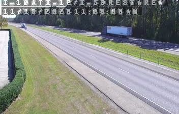

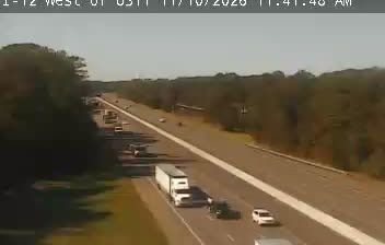
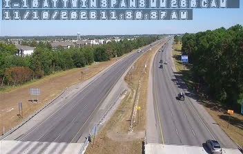
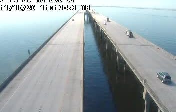
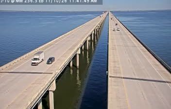
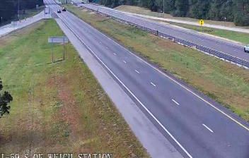
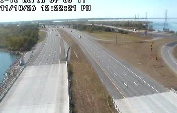

Ozone Pines lies on the low coastal plain between Lake Pontchartrain and the Pearl River in southeastern Louisiana, a setting shaped by wetlands, waterways and the humid Gulf Coast climate. The community is part of St. Tammany Parish, named for Tamanend, a Lenape leader whose name was widely adopted in early American civic life. Nearby Slidell provides the area’s main urban services, while the wider Northshore region connects lakefront communities with the Louisiana interior. Browse additional webcams from the Northshore to extend your view of southeastern Louisiana.
2 webcams
Low-lying river plains and wetlands define much of Louisiana - these waterways sustain shipping, fishing and agriculture while shaping settlement across the state. The Mississippi River follows Louisiana’s eastern side on its way to the Gulf of Mexico, while the Atchafalaya Basin is among North America’s largest floodplain wetlands. New Orleans is internationally known for jazz and Mardi Gras, traditions formed through French, African and Caribbean influences. Across the state, Cajun and Creole cooking remains central to local identity, with dishes such as gumbo and crawfish boils widely enjoyed. Explore further points of interest through webcams located across Louisiana.
308 webcams
The Atlantic, Pacific and Gulf coasts define much of the United States — their ports, fisheries and trade routes have long tied the country’s economy to the wider world. Between them, the Rocky Mountains, Great Plains and Mississippi River basin form sharply different regions, from high western ranges to broad agricultural heartlands. Cities carry much of the national story: New York’s Statue of Liberty, a gift from France dedicated in 1886, remains an enduring symbol, while Washington, DC concentrates major federal institutions. Indigenous nations have shaped these lands for millennia, and their living cultures remain essential to the country’s identity. Find related webcams in the surrounding areas to build a fuller picture of the United States.
32K webcams