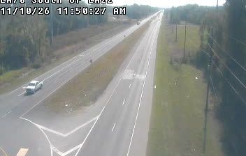
 Sorrento: US 61 at LA 22
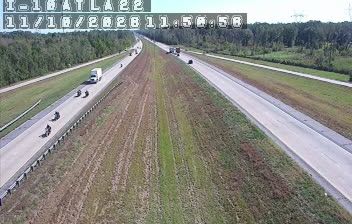
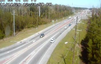
The Mississippi River defines the setting of Sorrento — its alluvial lowlands have shaped a small community on the overland route between Baton Rouge and New Orleans. US Route 61, locally called Airline Highway, meets Louisiana Highway 22 here, making the settlement a practical crossroads in Ascension Parish. The streetscape is largely low-rise and road-oriented, with homes, businesses and services set back from broad traffic lanes. Ascension belongs to Louisiana’s distinctive civil-parish system, which serves as the local level of government instead of counties. Sorrento is defined less by a formal downtown than by this busy junction and the flat, settled plain around it.
Generated by AI

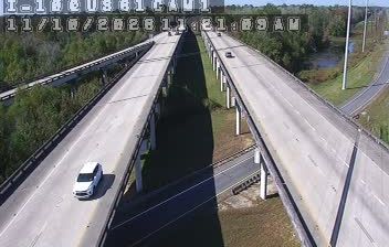
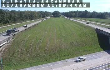
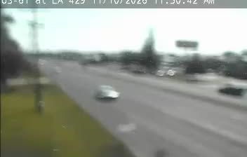

Sorrento combines small-town calm with the working rhythm of Louisiana’s river corridor in a way that reflects its position between Baton Rouge and New Orleans. This Ascension Parish town lies near the Mississippi River, while Lake Maurepas is to the south; its low, humid terrain belongs to the river’s broad alluvial plain. Sugarcane agriculture and heavy industry both shape the wider area, creating a distinctly south-Louisiana setting rather than a resort town. Local food culture connects Sorrento with nearby Gonzales, known for its annual Jambalaya Festival, an established regional community event. Browse additional webcams from the surrounding area to extend your view of Ascension Parish and southeastern Louisiana.
8 webcams
Low-lying river plains and wetlands define much of Louisiana - these waterways sustain shipping, fishing and agriculture while shaping settlement across the state. The Mississippi River follows Louisiana’s eastern side on its way to the Gulf of Mexico, while the Atchafalaya Basin is among North America’s largest floodplain wetlands. New Orleans is internationally known for jazz and Mardi Gras, traditions formed through French, African and Caribbean influences. Across the state, Cajun and Creole cooking remains central to local identity, with dishes such as gumbo and crawfish boils widely enjoyed. Explore further points of interest through webcams located across Louisiana.
308 webcams
The Atlantic, Pacific and Gulf coasts define much of the United States — their ports, fisheries and trade routes have long tied the country’s economy to the wider world. Between them, the Rocky Mountains, Great Plains and Mississippi River basin form sharply different regions, from high western ranges to broad agricultural heartlands. Cities carry much of the national story: New York’s Statue of Liberty, a gift from France dedicated in 1886, remains an enduring symbol, while Washington, DC concentrates major federal institutions. Indigenous nations have shaped these lands for millennia, and their living cultures remain essential to the country’s identity. Find related webcams in the surrounding areas to build a fuller picture of the United States.
32K webcams