 Soldotna: Sterling Hwy & Kenai Spur Hwy
Few places in Alaska have a history as closely tied to the opening of road links across the Kenai Peninsula as Soldotna. Settlers began arriving in 1947, when land here was opened for homesteading, and the community was incorporated as a city in 1960. The Sterling Highway and Kenai Spur Highway meet in Soldotna, placing it at a major junction for the central peninsula. The city stands on the Kenai River, whose salmon runs have made it one of Alaska’s best-known sport-fishing rivers. Soldotna’s river access, shops and public services give it a practical role well beyond its municipal limits.
Generated by AI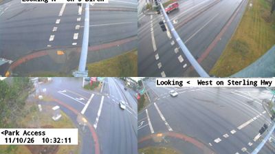
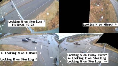


Built around a road junction beside the Kenai River, Soldotna grew into the commercial centre of Alaska’s central Kenai Peninsula. The river passes through town on its way to Cook Inlet and is internationally known for its salmon runs, making fishing a defining part of Soldotna’s seasonal rhythm. Soldotna Creek Park brings creekside woodland into the centre, while the nearby Kenai National Wildlife Refuge protects wetlands, lakes and forest across much of the peninsula. This is also Dena’ina homeland, an Indigenous presence that predates the modern road town. Local shops and services support communities spread along the Sterling Highway. Browse additional webcams from the Kenai Peninsula to extend your view of this part of Alaska.
4 webcams
Built around the homelands of Indigenous peoples and later linked by fur-trade and mining routes, Alaska grew into the largest state in the United States. These coordinates lie in the Interior, where the Tanana River crosses a country of broad lowlands, boreal forest and long winters. Alaska extends from the Gulf of Alaska to the Arctic Ocean and includes Denali, North America’s highest mountain. Athabascan communities remain central to the living cultural fabric of the interior. The Alaska Railroad reached Fairbanks in 1923, helping connect this remote region with the coast. Browse additional webcams from the surrounding area to extend your view of Interior Alaska.
411 webcams
The Atlantic, Pacific and Gulf coasts define much of the United States — their ports, fisheries and trade routes have long tied the country’s economy to the wider world. Between them, the Rocky Mountains, Great Plains and Mississippi River basin form sharply different regions, from high western ranges to broad agricultural heartlands. Cities carry much of the national story: New York’s Statue of Liberty, a gift from France dedicated in 1886, remains an enduring symbol, while Washington, DC concentrates major federal institutions. Indigenous nations have shaped these lands for millennia, and their living cultures remain essential to the country’s identity. Find related webcams in the surrounding areas to build a fuller picture of the United States.
32K webcams