 Alaska: Highway
The Alaska Highway at the Alaska–Yukon boundary is best known in Alaska for providing the state’s overland road connection with Canada. This remote stretch lies in the broad Tanana River basin alongside Tetlin National Wildlife Refuge, a protected expanse of wetlands and forest used by migratory birds and other wildlife. Low, open uplands shape the highway corridor before the route continues into Yukon. Built in 1942 as a military supply road during the Second World War, the Alaska Highway remains an essential long-distance route for communities, freight traffic and independent road travellers. Its isolation reflects the scale and sparse settlement of eastern Alaska.
Generated by AI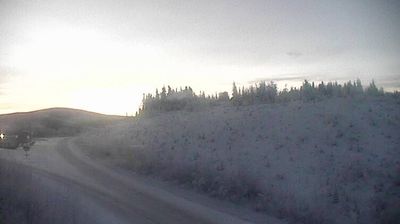

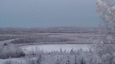



Alaska combines open high-desert country with a notably secluded setting, reflecting its position in western New Mexico. The locality lies within the wider volcanic terrain associated with El Malpais National Monument, where ancient lava flows and sandstone mesas shape the regional landscape. Nearby Laguna Pueblo is among New Mexico’s Pueblo communities, underscoring the long Indigenous presence in this part of the state. This is a place of broad horizons and lightly settled roads rather than urban landmarks. Discover other points of interest through webcams located across New Mexico.
1 webcam
High desert, mountain ranges and the Rio Grande valley define much of New Mexico - scarce water, grazing land and irrigated fields have long shaped settlement, ranching and farming. The state spans the southern Rocky Mountains and the Chihuahuan Desert, with the Sangre de Cristo Mountains rising above Santa Fe and the White Sands gypsum dune field lying farther south. Carlsbad Caverns National Park protects an extensive cave system in the southeast. Indigenous presence remains central: New Mexico is home to 19 Pueblo communities, alongside Navajo and Apache traditions. Santa Fe was founded in 1610. Browse other webcams across New Mexico to place its desert basins and mountain ranges in a wider geographic context.
41 webcams
The Atlantic, Pacific and Gulf coasts define much of the United States — their ports, fisheries and trade routes have long tied the country’s economy to the wider world. Between them, the Rocky Mountains, Great Plains and Mississippi River basin form sharply different regions, from high western ranges to broad agricultural heartlands. Cities carry much of the national story: New York’s Statue of Liberty, a gift from France dedicated in 1886, remains an enduring symbol, while Washington, DC concentrates major federal institutions. Indigenous nations have shaped these lands for millennia, and their living cultures remain essential to the country’s identity. Find related webcams in the surrounding areas to build a fuller picture of the United States.
32K webcams