 District of Levice
Pukanec has served as a mining town in the Štiavnica Mountains since the Middle Ages. Once a royal free town, it belonged to the mining belt that made this part of central Slovakia important for precious-metal extraction. The settlement occupies the southern foothills of the volcanic range, where cultivated land, orchards and scattered homes meet wooded slopes. Pukanec's compact historic core preserves its medieval character in the parish Church of St Nicholas and surviving fragments of former fortifications. Today it is a quiet point in the Hont area, with rolling lowlands extending south from the hills.
Generated by AI





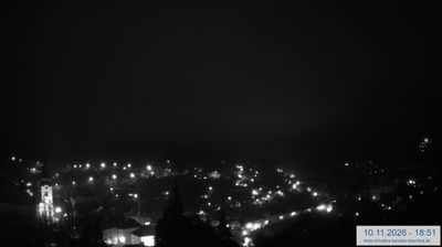
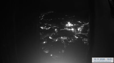

The Hron River defines the eastern side of the District of Levice — its valley crosses a largely lowland area where fields and wine-growing villages meet the southern foothills of the Štiavnica Mountains. The district seat, Levice, developed around a medieval castle whose surviving fortifications contain the Tekov Museum. This part of southern Slovakia has an inland character shaped by farming, small settlements and routes leading north towards central Slovakia’s former mining towns. Brhlovce, within the district, is known for its dwellings carved into tuff, created as shelter during the Ottoman threat. Find related webcams in the surrounding area to build a fuller picture of the Nitra Region.
4 webcams
Region of Nitra occupies a broad south-western belt of Slovakia, where the Danubian Lowland rises toward the wooded Tribeč and Pohronský Inovec ranges. The Nitra River runs through its centre, linking the regional capital with fertile farming country; vineyards and fields remain central to local life. Nitra is among Slovakia’s oldest cities and is marked by Nitra Castle, whose precinct includes a cathedral. Along the southern edge, the Danube forms an international boundary with Hungary, while Komárno preserves a major fortified legacy. Browse additional webcams nearby to understand how the Region of Nitra connects to the Danube lowlands and its northern hills.
23 webcams
Slovakia is best known internationally for the High Tatras, whose granite summits form the country’s most celebrated mountain landscape. Gerlachovský štít, at 2,655 metres, is the highest peak in Slovakia and in the Carpathians. The Danube runs past Bratislava, where Bratislava Castle stands on a hill above the river, linking the capital to Central Europe’s major waterway. Beyond the cities, forests, karst terrain and small historic towns define much of the country. Slovakia’s long folk tradition is also represented by the fujara, a large shepherd’s flute recognised by UNESCO. Browse additional webcams from the surrounding area to extend your view of the High Tatras and the Danube region.
286 webcams