 Pwllheli: Sawna Porth Poeth
Pwllheli has served as a market town on the Llŷn Peninsula since the Middle Ages. Porth Neigwl, commonly called Hell’s Mouth, forms a long, open sweep of sand on Cardigan Bay southwest of the town, edged by low coastal slopes rather than a built-up promenade. Its exposed shore is a well-established destination for surfing, while the surrounding coast retains the small fields and scattered homes typical of Llŷn. Pwllheli’s market status was confirmed by a borough charter in 1355, and Welsh remains an important everyday language across the peninsula. This shoreline belongs to the Llŷn National Landscape.
Generated by AI

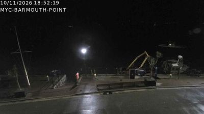


Pwllheli lies along Cardigan Bay, on the southern shore of the Llŷn Peninsula, where a working harbour and marina meet the wide waters of Wales’s north-west coast. The town has been a market centre since receiving a royal charter in 1355 from Edward, the Black Prince, and Welsh remains central to everyday local life. Its name, commonly understood as “salt-water pool,” recalls its coastal setting. Pwllheli is also home to Plas Heli, the Welsh National Sailing Academy and Events Centre, underlining its connection with sailing. Beyond the harbour, the peninsula continues toward smaller coastal communities, while the mountains of Eryri rise to the east. Discover other points of interest through webcams located across the Llŷn Peninsula and Wales.
5 webcams
Wales occupies a mountainous western peninsula of Great Britain in the United Kingdom. The Cambrian Mountains shape much of its interior, while Cardigan Bay opens onto the Irish Sea and the Severn and Wye have their sources in the Welsh uplands. In the north, Eryri National Park includes Yr Wyddfa, Wales’s highest summit at 1,085 metres. Welsh remains a living national language, heard alongside English, and the annual National Eisteddfod celebrates literature, music and performance. Browse further webcams from Wales to see how this part of Great Britain links with surrounding regions.
68 webcams
The United Kingdom combines long-established institutions with sharply varied regional identities in a way that reflects its position within northwestern Europe. England, Scotland, Wales and Northern Ireland share a state while retaining distinct traditions, languages and landscapes. The River Thames runs through London, where the Palace of Westminster and the Tower of London mark centuries of national life; Edinburgh’s Old and New Towns are UNESCO-listed. The Highlands, Eryri’s mountains and Atlantic-facing coasts contrast with the densely settled southeast. Football, theatre, pub culture and music remain everyday threads in a country with global cultural influence. View additional webcams nearby to better understand how the United Kingdom relates to its Atlantic and European surroundings.
1.3K webcams