 Santu Diadoru: Spiaggia Isuledda - Punta l'Isuledda - Isola Tavolara
Built around the sheltered shores of northeastern Sardinia, Santu Diadoru grew into the seaside town of San Teodoro. Isola Tavolara is a long limestone island that rises sharply from the Tyrrhenian Sea, defining this stretch of coast opposite the town. Punta l'Isuledda forms a low headland beside Spiaggia Isuledda, a sandy beach edged by granite outcrops and shallow water. Tavolara and neighbouring Molara lend their names to the Tavolara–Punta Coda Cavallo Marine Protected Area, created in 1997. The Sardinian name Santu Diadoru reflects the island language still used alongside Italian, while San Teodoro’s coast is a focal point for beachgoing and boating.
Generated by AI

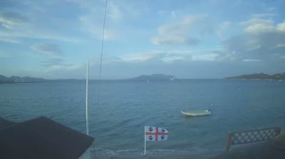

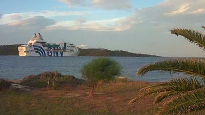
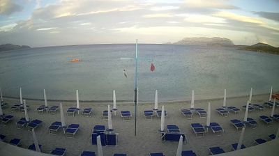


The landscape around Santu Diadoru is a low Mediterranean coastal plain between the Tyrrhenian Sea and inland hills, which has shaped both the town’s spread-out form and tourism-based local economy. Known in Italian as San Teodoro, the settlement lies on Sardinia’s northeastern shore, where sandy beaches and wetlands sit close to built-up areas. La Cinta, its long beach, runs beside the Stagno di San Teodoro lagoon, an environment associated with birdlife. Offshore, the island of Tavolara forms a distinctive landmark and gives its name to the Tavolara–Punta Coda Cavallo Marine Protected Area. The Sardinian name Santu Diadoru reflects the island’s living local language alongside Italian. Move on to other webcams in northeastern Sardinia to compare coastal landscapes and settings around Santu Diadoru.
2 webcams
Sardinia combines a rugged mountainous interior with far-reaching coasts in a way that reflects its position within the western Mediterranean. Near these central coordinates, granite uplands, grazing land and small settlements shape an island interior where local traditions remain part of daily life. The Gennargentu range is Sardinia’s highest mountain area, while the Tirso, the island’s longest river, runs west across its interior. Sardinia is also the land of the Nuragic civilisation: thousands of prehistoric stone nuraghi still punctuate the countryside. Move on to other webcams in the region to compare landscapes and settings around central Sardinia.
124 webcams
Among the countries of southern Europe, Italy stands out for its Mediterranean coastline and cities marked by the legacy of ancient Rome. The Alps form its northern frontier, while the Apennines run down the peninsula and the Po crosses the broad plain of the north. Rome’s Colosseum and Roman Forum recall the ancient empire; Florence is closely associated with the Renaissance, and Venice is built across a lagoon on the Adriatic. Food changes markedly between regions, from olive-oil cooking in the south to rice dishes in the Po Valley. Sicily and Sardinia add distinct island identities to a country whose regions retain strong local character. Explore nearby webcam locations that provide complementary perspectives on Italy’s coasts, cities and mountains.
3.1K webcams