 Santa Coloma: CG1 - PK 3+671 (Pont de la Palanca) - 976 metres
The landscape around Santa Coloma is a narrow, steep-sided valley along the Valira River, which has shaped both the built environment and local life. This settlement lies immediately south of Andorra la Vella, where the CG-1 follows the valley floor towards the Spanish border and carries a large share of the principality’s road traffic. The Pont de la Palanca area brings road, footways and riverside development into a compact strip between wooded slopes. Santa Coloma is also known for the Church of Santa Coloma, one of Andorra’s oldest churches; its freestanding Lombard Romanesque bell tower is a defining feature of the parish’s heritage. In a country where level land is limited, the valley corridor remains essential to daily movement, commerce and links between communities.
Generated by AI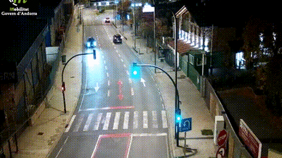

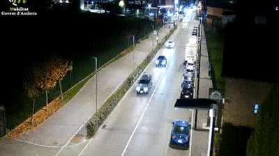
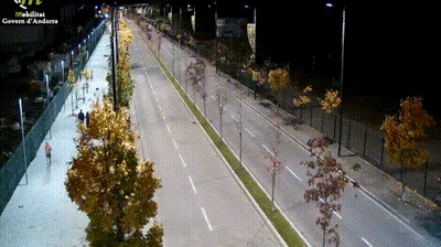
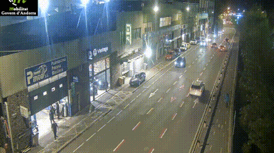
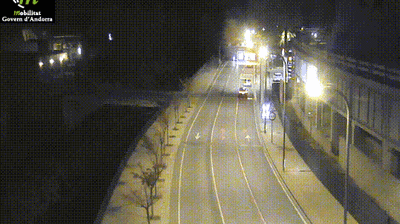

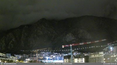

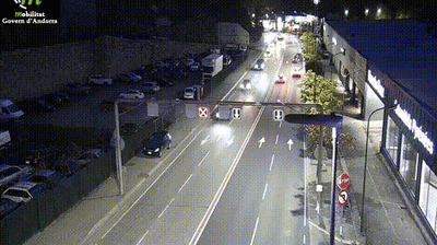

The Valira River defines the setting of Santa Coloma — its narrow valley floor gathers homes, roads and the route south toward Spain beneath Andorra’s steep Pyrenean slopes. This small settlement belongs to the parish of Andorra la Vella, yet it has a distinct historic focus in the Church of Santa Coloma. Its simple pre-Romanesque nave and separate circular Lombard bell tower from the 12th century make it one of the principality’s most recognisable Romanesque monuments. Nearby, the Espai Columba interprets the church’s Romanesque wall paintings. Santa Coloma makes a quieter stop for travellers exploring Andorra’s heritage beyond the capital’s commercial centre. Discover other points of interest through webcams located across Andorra.
4 webcams
The terrain of Andorra la Vella ranges from the floor of the Gran Valira valley in its centre to steep Pyrenean slopes around the parish, concentrating the capital’s streets and neighbourhoods in a narrow urban basin. As Andorra’s political and commercial centre, the city combines busy avenues with the stone lanes of the Barri Antic. Casa de la Vall, a late-16th-century house that served for centuries as the seat of the General Council, is among its most important historic buildings. The Gran Valira continues south towards the border with Spain, linking the city to the wider valley network. Explore additional webcams nearby to see how Andorra la Vella connects with the surrounding Pyrenean valleys.
16 webcams
Among the countries of the eastern Pyrenees, Andorra stands out for its high mountain valleys and Catalan character. Set between France and Spain, this landlocked state is crossed by the Valira river system, whose valleys concentrate its towns, roads and much of everyday life. Catalan is the official language, and the capital, Andorra la Vella, brings together government, commerce and mountain access. In the east, the Madriu-Perafita-Claror Valley is inscribed on UNESCO’s World Heritage List as a cultural landscape shaped over centuries by pastoral use. Winter sports are central to the national calendar, while hiking and cycling take over when the snow recedes. Browse additional webcams from the Pyrenean surroundings to extend your view of Andorra’s mountain valleys.
118 webcams