 Sant Julià de Lòria: CG1 - PK 7+400 (Av. Francesc Cairat) - 896 metres
Tucked along the Valira river in southern Andorra, Sant Julià de Lòria is a town whose character is shaped by its narrow mountain valley. It is the administrative centre of Andorra’s southernmost parish, positioned on the main route between the capital and the Spanish border. Avinguda Francesc Cairat follows the river through a built-up centre of shops, apartments and local services, underlining the town’s role as both a commercial hub and residential community. Steep wooded slopes rise above this urban corridor and lead towards the higher Pyrenean terrain. Sant Julià de Lòria also retains a link to the country’s tobacco industry: the Museu del Tabac occupies a former Reig tobacco factory and documents a trade that long played an important part in Andorra’s economy. The Valira remains the town’s defining geographical thread.
Generated by AI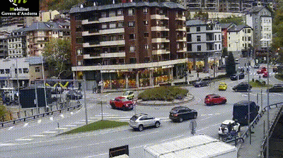
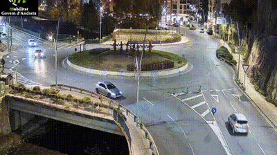


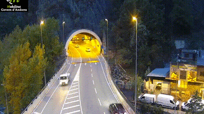
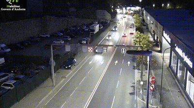
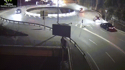

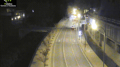

Sant Julià de Lòria combines the energy of a valley town with a distinctly alpine setting in a way that reflects its position along the Valira River in southern Andorra. One of the country’s seven parishes, it follows the main route towards the Spanish border while wooded slopes rise into the Pyrenees around it. Tobacco once played an important part in local livelihoods; the Tobacco Museum, housed in the former Reig factory, recalls this chapter of Andorran industry. The parish church of Sant Julià i Sant Germà marks a long religious presence in the valley. Above town, La Rabassa forest is home to Naturland, and the parish also hosts the University of Andorra. Browse additional webcams from the surrounding area to extend your view of southern Andorra.
6 webcams
Among the parishes of Andorra, Sant Julià de Lòria stands out for its lower-altitude valley setting and long connection with tobacco growing. The parish extends south from the town of Sant Julià along the Valira River, where steep Pyrenean slopes frame cultivated pockets and the road towards Spain. Its parish church, Sant Julià i Sant Germà, retains a Romanesque bell tower, linking the centre to Andorra’s medieval religious architecture. Higher up, the La Rabassa area leads into extensive forests and is associated with outdoor recreation. The University of Andorra also gives the parish a contemporary civic role. Discover other points of interest through webcams located across Sant Julià de Lòria.
10 webcams
Among the countries of the eastern Pyrenees, Andorra stands out for its high mountain valleys and Catalan character. Set between France and Spain, this landlocked state is crossed by the Valira river system, whose valleys concentrate its towns, roads and much of everyday life. Catalan is the official language, and the capital, Andorra la Vella, brings together government, commerce and mountain access. In the east, the Madriu-Perafita-Claror Valley is inscribed on UNESCO’s World Heritage List as a cultural landscape shaped over centuries by pastoral use. Winter sports are central to the national calendar, while hiking and cycling take over when the snow recedes. Browse additional webcams from the Pyrenean surroundings to extend your view of Andorra’s mountain valleys.
118 webcams