 Beerburrum
 is best known within Queensland for the Beerburrum Soldier Settlement, established in 1916 for returned First World War servicemen. The township lies on the Sunshine Coast hinterland’s low coastal plain, with the volcanic remnants of the Glass House Mountains defining the wider region. Beerburrum State Forest covers much of the district, while the Bruce Highway runs through the locality as Queensland’s principal north–south road link. Its history is closely tied to land clearing and farming by soldier settlers. The settlement later became known as a difficult experiment, affected by poor soils and limited support. Today, plantation forest, rural land and major transport infrastructure meet between Brisbane and the Sunshine Coast.
Generated by AI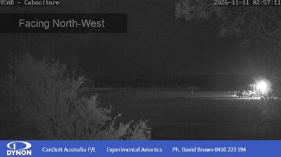
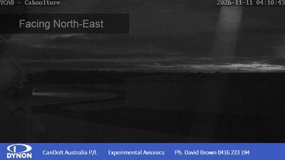

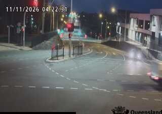
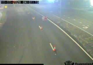



Among the towns of Queensland, Beerburrum stands out for its early soldier-settlement history beside the Glass House Mountains. The community lies on the Sunshine Coast hinterland’s low coastal plain, close to Mount Beerburrum and the pine plantations of Beerburrum State Forest. In 1916, the Beerburrum Soldier Settlement was established for returned servicemen, making the district an important part of Queensland’s post-First World War settlement programme. The North Coast railway line connects Beerburrum with Brisbane and the Sunshine Coast, while volcanic peaks to the west give the locality a distinct regional setting. Move on to other webcams in Queensland to compare coastal plains and mountain settings around Beerburrum.
1 webcam
Queensland extends from Torres Strait in the north to the New South Wales border in the south, encompassing a tropical coastline and a vast, dry interior. Along the Coral Sea, the Great Barrier Reef runs beside the state’s eastern shore, while inland plains, grazing country and long distances define much of central and western Queensland. This location lies in the interior, where settlements are widely spaced and open outback horizons contrast with the humid coast. Queensland is home to Aboriginal and Torres Strait Islander peoples, whose enduring connections to Country underpin its cultural identity. Browse additional webcams from central Queensland to extend your view of the state’s interior.
474 webcams
Australia’s terrain extends from tropical rainforests in the northeast to arid plains in the interior, producing dramatic climatic contrasts. The Great Dividing Range follows much of the eastern coast, while the Great Barrier Reef lies off Queensland in the Coral Sea and Uluru rises from the central desert. Aboriginal and Torres Strait Islander peoples maintain living cultures whose connections to Country long predate European settlement. In Sydney, the sail-like Opera House, completed in 1973, stands beside one of the world’s best-known harbours. Discover further points of interest through webcams located across Australia.
1.6K webcams