 Hluk: Koupaliště
Tucked into the rolling farmland of southeastern Moravia, Hluk is a town whose character is shaped by the nearby foothills of the White Carpathians. It belongs to Slovácko, a Moravian cultural region associated with folk dress, traditional music and wine-growing. Hluk Fortress, a Renaissance building in the centre, is a notable reminder of the town’s earlier history. Residential streets extend through a low, open setting of fields and small wooded strips, while a municipal swimming complex and sports grounds provide a practical recreational focus. Modest in scale, Hluk reflects everyday life in the settled agricultural country of eastern Moravia.
Generated by AI


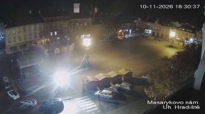
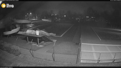
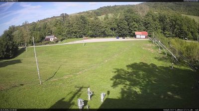
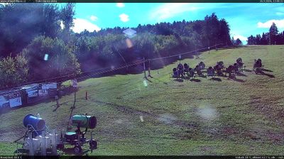
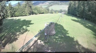

Hluk is best known in the Zlín Region for Hlucké hody s právem, an annual folk celebration rooted in the traditions of Moravian Slovakia. The town lies on the Okluky stream, near the White Carpathians, in an area where regional dress, brass bands and dancing remain part of public life. The hody festival is held with a ceremonial právo, a decorated emblem signifying the right to stage the feast, and includes a costumed procession, music and dancing. St Lawrence’s Church is a familiar landmark in the town centre. Browse additional webcams from the surrounding area to extend your view of Moravian Slovakia.
1 webcam
Centred on the industrial city of Zlín and the valleys of eastern Moravia, Zlínský kraj developed into a distinct region of Czechia. Zlín is closely associated with the Bata shoe company, whose factory-led expansion gave the city its notable Functionalist architecture. To the east, the White Carpathians follow the Slovak border, while the Morava River crosses lowlands near Uherské Hradiště. Velehrad, one of the country’s important pilgrimage places, adds another dimension to the area’s Moravian identity. Browse webcams nearby to see how Zlínský kraj belongs to the wider landscape of eastern Moravia.
95 webcams
The terrain of Czechia ranges from fertile lowlands in southern Moravia to mountain ridges along the northern frontier, giving this Central European country a distinctly varied geography. The Vltava runs through Prague before joining the Elbe, while the Krkonoše form part of the border with Poland and include Sněžka, Czechia’s highest mountain. Prague’s historic centre, with Prague Castle and Charles Bridge, reflects the city’s long role as a political and cultural centre. Beyond the capital, Bohemia is known for spa towns and brewing, and Moravia for wine-growing traditions. View additional webcams nearby to better understand how Czechia relates to its Central European surroundings.
1.4K webcams