 Dolni Lomna: Ski areál SEVERKA v Dolní Lomné - Chata Severka - Dolní Lomná
Dolní Lomná straddles the Lomná Stream in the Moravian-Silesian Beskids, and its narrow-valley position has concentrated settlement, roads and farms between heavily wooded slopes. Part of Czech Silesia near the Slovak border, it lies in a country of rounded ridges, forest clearings and small mountain hamlets. Above the village, the Severka area provides ski-lift facilities and other mountain recreation, while Velký Polom is one of the notable summits of this section of the Beskids. Dolní Lomná also belongs to the Goral cultural region, where folk music, dialect and traditional customs remain an important part of local identity. It is a compact mountain community shaped by the Lomná valley and its surrounding forests.
Generated by AI


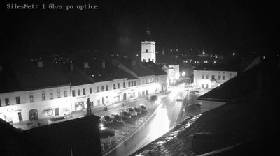

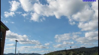


Dolní Lomná has served as a mountain settlement in the Silesian Beskids since the early modern era. Set in the Lomná valley near Czechia’s borders with Poland and Slovakia, the municipality is shaped by the Lomná stream and steep, forested ridges. It belongs to the cultural area associated with the Gorols, whose Polish-influenced Silesian traditions remain part of local identity. Nearby, the Mionší National Nature Reserve protects a valuable Carpathian forest ecosystem of beech, fir and spruce. The Church of the Exaltation of the Holy Cross is a notable local landmark. View additional webcams nearby to better understand how Dolní Lomná relates to the Silesian Beskids and the Lomná valley.
7 webcams
Moravian-Silesian Region combines an industrial legacy with mountain terrain in a way that reflects its position between the historic lands of Moravia and Silesia on Czechia’s northeastern frontier. Ostrava, its largest city, developed around coal mining and ironmaking; the former Vítkovice ironworks, now the Dolní Vítkovice cultural complex, remain a defining reminder of that era. Beyond the urban basin, the Beskydy range rises in the southeast, while the Oder has its source in the Oderské vrchy. Opava adds another thread of Silesian identity through its historic centre and cultural life. Browse additional webcams from the surrounding area to extend your view of the Moravian-Silesian Region.
118 webcams
The terrain of Czechia ranges from fertile lowlands in southern Moravia to mountain ridges along the northern frontier, giving this Central European country a distinctly varied geography. The Vltava runs through Prague before joining the Elbe, while the Krkonoše form part of the border with Poland and include Sněžka, Czechia’s highest mountain. Prague’s historic centre, with Prague Castle and Charles Bridge, reflects the city’s long role as a political and cultural centre. Beyond the capital, Bohemia is known for spa towns and brewing, and Moravia for wine-growing traditions. View additional webcams nearby to better understand how Czechia relates to its Central European surroundings.
1.4K webcams