 Bel Air: Maryland 24 & U.S. 1 Business
Bel Air occupies a gently rolling inland setting in central Harford County, Maryland. The town is the county seat, a role it has held since 1782, and its courthouse-centered core anchors a community between Chesapeake Bay and the Pennsylvania line. Maryland Route 24 is a principal north–south route through Bel Air; U.S. Route 1 Business intersects it in a built-up corridor of shops, services and everyday traffic. This junction reflects the town’s practical role as Harford County’s administrative and commercial center, while nearby roads link Bel Air with communities across the county.
Generated by AI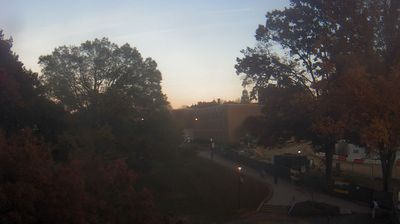
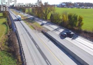
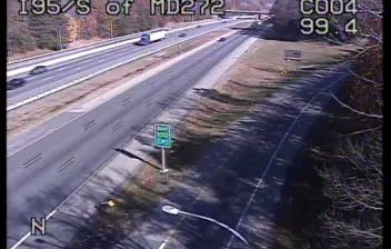
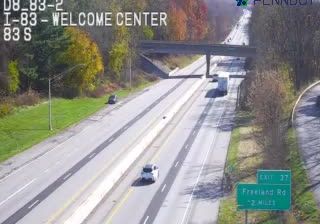
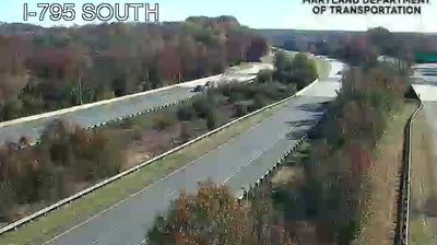
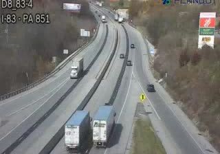

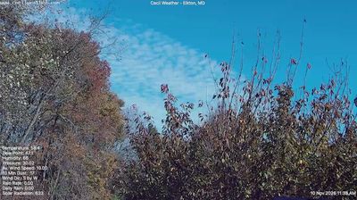

Bel Air straddles the headwaters of Winters Run in central Harford County, Maryland, and its rolling Piedmont setting has made it the county’s civic centre. The town has served as Harford County’s seat since 1782, with the courthouse district anchoring a compact downtown of independent shops, restaurants and community venues. Bel Air’s cultural calendar includes the long-running Maryland State BBQ Bash, while the Ma & Pa Trail follows part of the former Maryland & Pennsylvania Railroad corridor through the area. Explore additional webcams nearby to understand how Bel Air relates to Harford County and the Chesapeake Bay region.
1 webcam
Maryland is widely known in the United States for Chesapeake Bay, the vast estuary that shapes much of its eastern shore. The state extends from Atlantic beaches and tidal wetlands across the bay’s low-lying Eastern Shore to rolling Piedmont country and the forested Appalachian west. Baltimore, its largest city, developed around a major harbor on the Patapsco River; Annapolis, the capital, is home to the United States Naval Academy. Seafood, particularly blue crabs, is central to Maryland’s food traditions, while the Chesapeake and Ohio Canal follows part of the Potomac River corridor. See Maryland in its wider Mid-Atlantic setting by browsing webcams nearby.
28 webcams
The Atlantic, Pacific and Gulf coasts define much of the United States — their ports, fisheries and trade routes have long tied the country’s economy to the wider world. Between them, the Rocky Mountains, Great Plains and Mississippi River basin form sharply different regions, from high western ranges to broad agricultural heartlands. Cities carry much of the national story: New York’s Statue of Liberty, a gift from France dedicated in 1886, remains an enduring symbol, while Washington, DC concentrates major federal institutions. Indigenous nations have shaped these lands for millennia, and their living cultures remain essential to the country’s identity. Find related webcams in the surrounding areas to build a fuller picture of the United States.
32K webcams