 Przemysl: Plac Konstytucji 3 Maja
The San River defines the setting of Przemyśl — its valley and surrounding hills give this southeastern Polish city a distinct, terraced form. Plac Konstytucji 3 Maja is part of the central street network, its name commemorating the Constitution of 3 May 1791, a landmark of Polish political history. Przemyśl lies near the Ukrainian border and developed over centuries as an important frontier town. Its wider urban identity is also shaped by Przemyśl Fortress, the extensive Austro-Hungarian fortification system that became a major First World War battlefield. Commercial streets in the centre lead towards slopes rising to older quarters, illustrating how geography and borderland history have directed the city’s growth.
Generated by AI
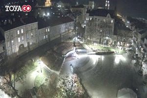
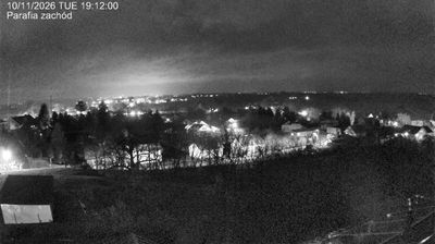



Przemyśl sits on the San River in Poland’s Subcarpathian Voivodeship, where the Carpathian foothills rise toward the Ukrainian border. The city’s layered identity reflects centuries at a European crossroads, shaped by Polish, Ukrainian and Jewish communities as well as its period under Habsburg rule. Przemyśl Fortress, an extensive Austro-Hungarian defensive system around the city, was a major site of fighting during the First World War; several of its forts remain in the surrounding countryside. In the centre, steep streets lead past churches, civic buildings and traces of the old market town. Continue to other webcams in Subcarpathian Voivodeship to compare settings along the San and in the nearby foothills.
5 webcams
Built around the Carpathian foothills and the upper San River basin, Subcarpathian Voivodeship grew into Poland’s southeastern borderland region. Rzeszów, the regional capital, is its main urban centre, while the land rises southward towards the Low Beskids and Bieszczady Mountains. The San and its tributaries cut through valleys of farmland and forest, linking small towns with the higher Carpathian interior. Wooden Roman Catholic churches and Orthodox tserkvas reflect centuries of Polish and Ukrainian cultural contact, and several local tserkvas form part of a UNESCO World Heritage listing. Continue through the area to see how this part of southeastern Poland connects regionally.
93 webcams
Poland stretches from the Baltic Sea coast in the north to the Carpathian Mountains along its southern frontier, encompassing broad lowlands, lake districts and upland ranges. The Vistula, the country’s longest river, links Kraków and Warsaw before reaching the Baltic near Gdańsk, while the Masurian Lake District is defined by a dense network of lakes. Kraków’s historic centre, including Wawel Castle, recalls Poland’s former royal capital; Warsaw’s rebuilt Old Town speaks to the city’s recovery after the Second World War. The Białowieża Forest preserves one of Europe’s last primeval lowland forests and is home to European bison. Follow how Poland’s regions relate to one another by browsing webcams across the country.
711 webcams