 Victor: WYO 22 Idaho State Line - West
Built around a farming settlement established in 1889, Victor grew into a small service town in Idaho’s Teton Valley. The town lies west of the Teton Range, while Idaho State Highway 31 climbs southeast through the forested Big Hole Mountains toward Pine Creek Pass and Swan Valley. This corridor places Victor between the valley’s irrigated fields and the higher public lands of the Caribou-Targhee National Forest. Agriculture remains central to the area’s identity, and Victor’s compact downtown provides shops, dining and local services for residents and travellers moving between the valley and Snake River country. The town was named after Victor, Colorado, recalling the period when new communities were taking shape across the Intermountain West.
Generated by AI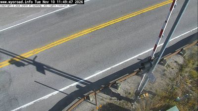
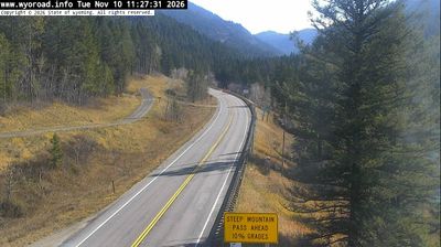


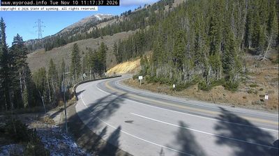
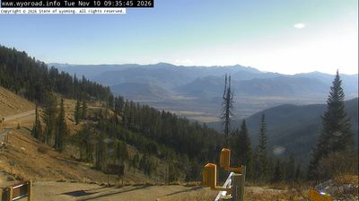
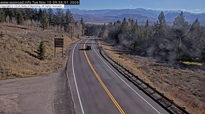
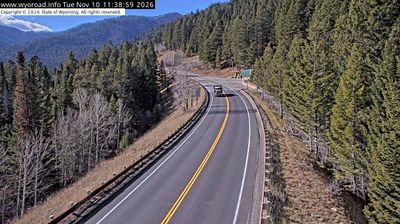


Among Idaho’s cities, Victor stands out for its position in Teton Valley between the Big Hole Mountains and the Teton Range. The town lies on Idaho State Highway 33, a route that crosses Teton Pass toward Jackson, Wyoming, while the Teton River runs through the northern part of the valley. Victor’s compact Main Street serves cyclists, skiers and travelers exploring the western side of the Tetons. The Victor Emporium, a long-running local stop known for huckleberry shakes, adds a familiar small-town tradition. Summer’s Music on Main concert series brings people together outdoors. Browse additional webcams from the surrounding area to extend your view of Teton Valley.
3 webcams
Idaho stretches from the Canadian border to the Utah and Nevada state lines, encompassing forested Rocky Mountain country, broad river valleys, and the Snake River Plain. Central Idaho includes the Wood River Valley, home to the Sun Valley area and its long-established ski culture, with the Sawtooth Range rising to the north. The Snake River crosses southern Idaho, shaping irrigated agriculture, hydropower, and communities along its course. Idaho is also widely associated with potato farming, supported by fertile volcanic soils across the plain. Browse additional webcams from central Idaho to extend your view of the Wood River Valley and the state’s mountain country.
38 webcams
The Atlantic, Pacific and Gulf coasts define much of the United States — their ports, fisheries and trade routes have long tied the country’s economy to the wider world. Between them, the Rocky Mountains, Great Plains and Mississippi River basin form sharply different regions, from high western ranges to broad agricultural heartlands. Cities carry much of the national story: New York’s Statue of Liberty, a gift from France dedicated in 1886, remains an enduring symbol, while Washington, DC concentrates major federal institutions. Indigenous nations have shaped these lands for millennia, and their living cultures remain essential to the country’s identity. Find related webcams in the surrounding areas to build a fuller picture of the United States.
32K webcams