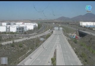
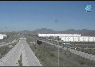
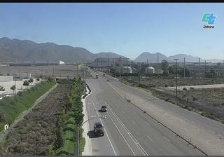
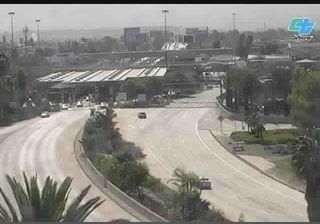
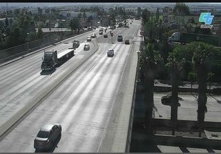
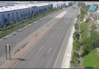
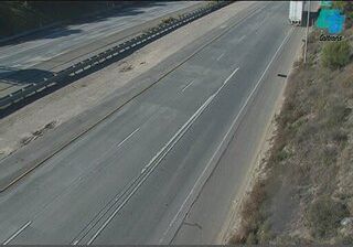
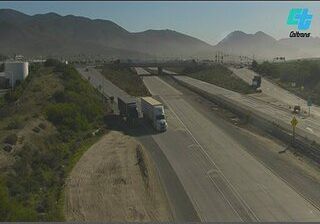
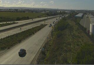
 San Diego: C160) I-905 : Sanyo Avenue 2
Otay Mesa defines San Diego’s southern setting — this broad, largely level upland has made room for major transport corridors, warehouses and cross-border commerce near the Mexican frontier. State Route 905 runs across the mesa, joining Interstate 5 with State Route 125 and the Otay Mesa Port of Entry, one of the region’s principal commercial border crossings. The surrounding district has a distinctly working character: industrial parks, distribution facilities and wide roads sit alongside undeveloped slopes and drainage land. Otay Mesa is also within the ancestral homeland of the Kumeyaay people, whose communities have long lived on both sides of today’s international boundary. Here, metropolitan San Diego meets the infrastructure of the California–Baja California borderlands.
Generated by AI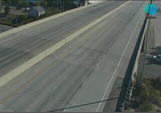


Few cities in California have a history as closely tied to the U.S. Navy and Pacific maritime trade as San Diego. Set beside San Diego Bay and the Pacific Ocean, the city is defined by a working harbor, naval installations and waterfront districts. The USS Midway Museum occupies a retired aircraft carrier at Navy Pier, while Balboa Park preserves Spanish Colonial Revival architecture created for the 1915 Panama–California Exposition. Old Town recalls the settlement’s early Mexican and American periods. Beaches, the Embarcadero and the bayside skyline give this Southern California city a distinctly coastal rhythm. Explore nearby webcam locations that provide complementary perspectives on San Diego Bay and Southern California’s coast.
143 webcams
California occupies a long Pacific coastal belt in the United States. Its terrain ranges from the Sierra Nevada and the fertile Central Valley to deserts in the southeast and the rugged shores of the Pacific Ocean. The state includes both Mount Whitney, the highest point in the contiguous United States, and extensive protected lands such as Yosemite National Park. California’s cities have exerted worldwide influence through film, technology, agriculture, and music; Hollywood remains an enduring symbol of the American screen industry. Its scale means climates and local character can change dramatically from one county to the next. Continue through nearby webcams to explore different parts of California.
2.9K webcams
The Atlantic, Pacific and Gulf coasts define much of the United States — their ports, fisheries and trade routes have long tied the country’s economy to the wider world. Between them, the Rocky Mountains, Great Plains and Mississippi River basin form sharply different regions, from high western ranges to broad agricultural heartlands. Cities carry much of the national story: New York’s Statue of Liberty, a gift from France dedicated in 1886, remains an enduring symbol, while Washington, DC concentrates major federal institutions. Indigenous nations have shaped these lands for millennia, and their living cultures remain essential to the country’s identity. Find related webcams in the surrounding areas to build a fuller picture of the United States.
32K webcams