 Santa Barbara: US-101 : Garden Street
The terrain around Santa Barbara is a narrow coastal plain between the Pacific Ocean and the Santa Ynez Mountains, a setting that has shaped both the city’s form and local life. US 101 runs through this constrained strip, linking the city with California’s south coast and the Central Coast; at Garden Street it passes close to downtown’s grid of low-rise commercial and civic blocks. Santa Barbara developed around the Presidio established by Spain in 1782, while Old Mission Santa Barbara, founded four years later, remains a defining institution of the city. White stucco, red-tile roofs and carefully planted streets reflect the Spanish Colonial Revival character strengthened after the 1925 earthquake. The shoreline, harbor and mountain foothills give this urban corridor a clear sense of place.
Generated by AI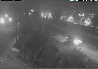



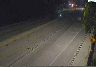
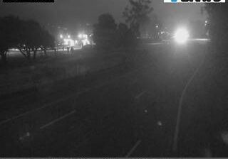


Santa Barbara lies along California’s south-facing Pacific coast, where the Santa Ynez Mountains rise behind the city and the Channel Islands lie offshore. The waterfront combines beaches, a harbor and Stearns Wharf, while State Street runs inland through the commercial core toward the foothills. The 1786 Old Mission Santa Barbara, founded by Franciscan missionaries, remains a central reference point for the city’s Spanish Colonial Revival identity; its 1925 earthquake prompted rebuilding that reinforced this architectural character. With the University of California, Santa Barbara nearby, the area also has a strong academic presence. Browse additional webcams from the surrounding area to extend your view of Santa Barbara’s south coast.
5 webcams
California occupies a long Pacific coastal belt in the United States. Its terrain ranges from the Sierra Nevada and the fertile Central Valley to deserts in the southeast and the rugged shores of the Pacific Ocean. The state includes both Mount Whitney, the highest point in the contiguous United States, and extensive protected lands such as Yosemite National Park. California’s cities have exerted worldwide influence through film, technology, agriculture, and music; Hollywood remains an enduring symbol of the American screen industry. Its scale means climates and local character can change dramatically from one county to the next. Continue through nearby webcams to explore different parts of California.
2.9K webcams
The Atlantic, Pacific and Gulf coasts define much of the United States — their ports, fisheries and trade routes have long tied the country’s economy to the wider world. Between them, the Rocky Mountains, Great Plains and Mississippi River basin form sharply different regions, from high western ranges to broad agricultural heartlands. Cities carry much of the national story: New York’s Statue of Liberty, a gift from France dedicated in 1886, remains an enduring symbol, while Washington, DC concentrates major federal institutions. Indigenous nations have shaped these lands for millennia, and their living cultures remain essential to the country’s identity. Find related webcams in the surrounding areas to build a fuller picture of the United States.
32K webcams