 Fort William: Allt na Diollaid
Allt na Diollaid has served as a mountain watercourse in Lochaber since the 17th century. Its Gaelic name, meaning “burn of the saddle”, reflects the close relationship between Highland place-names and terrain. The stream lies among the rounded hills near Loch Linnhe, part of the wider mountain country south-west of Fort William. Birch woodland and open slopes characterise this area of the western Highlands, where glens guide water down towards the sea loch. Fort William developed around a government garrison in the late 17th century, while the surrounding Lochaber countryside has long supported crofting, forestry and hill grazing. Allt na Diollaid is a quieter Highland setting, shaped by wooded banks, small burns and upland ridges.
Generated by AI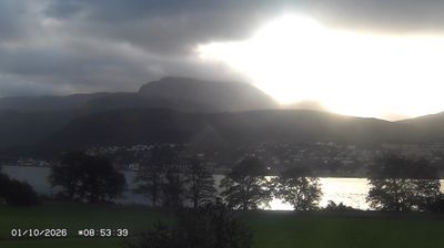
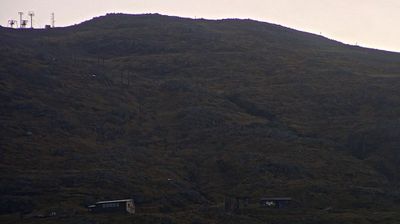
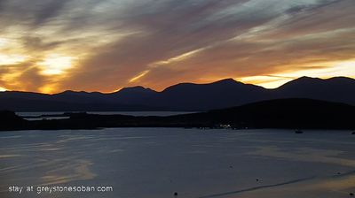

Fort William combines the character of a working Highland town with a mountainous waterside setting in a way that reflects its position on Loch Linnhe at the foot of the Great Glen. Ben Nevis, the highest mountain in the British Isles, rises just east of town, while the sea loch leads south towards Scotland’s Atlantic coast. Fort William developed around a 17th-century government fort later named for King William III, and its military origins still shape its identity. It is also the northern terminus of the West Highland Way and an important stop on the West Highland Line. Find related webcams in Lochaber and around Loch Linnhe to build a fuller picture of Fort William.
2 webcams
Scotland combines rugged Highland terrain with more settled Lowlands in a way that reflects its position within northern Britain. These coordinates fall in the central Highlands, where the Grampian Mountains, lochs and broad glens set a distinctly upland character. Across the country, the River Tay is Scotland’s longest river, while the Atlantic-facing west coast contrasts with the North Sea shores to the east. Scotland’s cultural identity is also shaped by Gaelic heritage, traditional music and cities such as Edinburgh, whose castle dominates an ancient volcanic crag. Explore nearby webcam locations that provide complementary perspectives on Scotland’s central Highlands and wider landscapes.
78 webcams
The United Kingdom combines long-established institutions with sharply varied regional identities in a way that reflects its position within northwestern Europe. England, Scotland, Wales and Northern Ireland share a state while retaining distinct traditions, languages and landscapes. The River Thames runs through London, where the Palace of Westminster and the Tower of London mark centuries of national life; Edinburgh’s Old and New Towns are UNESCO-listed. The Highlands, Eryri’s mountains and Atlantic-facing coasts contrast with the densely settled southeast. Football, theatre, pub culture and music remain everyday threads in a country with global cultural influence. View additional webcams nearby to better understand how the United Kingdom relates to its Atlantic and European surroundings.
1.3K webcams