 Wānaka
The landscape around Wānaka Airport is a dry inland basin framed by the Southern Alps, which has shaped both the built environment and local life. Set southeast of Wānaka beside Lake Wānaka, the airport belongs to a region where farming, aviation and outdoor recreation sit close together. The town stands on the shore of Lake Wānaka, a long glacial lake that drains into the Clutha River / Mata-Au, New Zealand’s second-longest river. The airport is closely associated with Warbirds over Wānaka, an international aviation event that brings historic aircraft to Otago. Together, the lake, alpine country and Upper Clutha basin give this part of the South Island its spacious, mountain-oriented character.
Generated by AI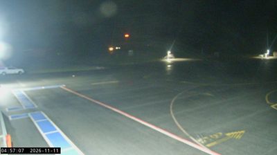
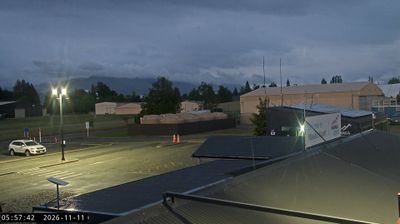
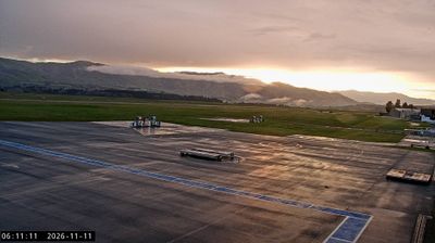
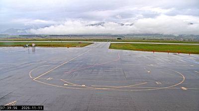
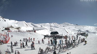

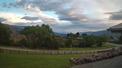

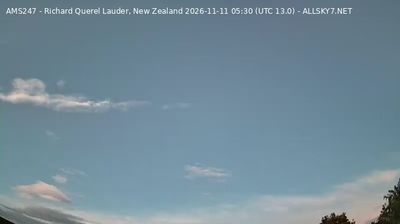

Tucked along the southern shore of Lake Wānaka in Otago, Wānaka is a town whose character is shaped by its deep glacial lake and the Southern Alps. The lake feeds the Clutha River, New Zealand’s second-longest river, while its shoreline draws swimmers, walkers and boaters in warmer months. Mount Aspiring National Park lies nearby, linking the town to beech forests, alpine valleys and high-country routes. Wānaka’s outdoor-sport culture is also evident in the local access to Treble Cone and Cardrona Alpine Resort. The lone willow called That Wānaka Tree has become a recognisable landmark standing in the lake. Move on to other webcams in Otago to compare lake and alpine settings around Wānaka.
5 webcams
Otago stretches from the Southern Alps to the Pacific Ocean, encompassing alpine basins, dry inland ranges and a long southern coastline. At its centre, the Clutha/Mata-Au, New Zealand’s second-longest river, cuts through Central Otago, where schist country, orchards and vineyards give the interior a continental character. The 1860s gold rush left a clear legacy in former mining settlements including Clyde and Arrowtown. On the coast, Dunedin’s Victorian and Edwardian architecture reflects its Scottish foundations, while Otago Peninsula is known for marine wildlife. Browse additional webcams from the surrounding area to extend your view of Otago.
45 webcams
New Zealand combines Pacific isolation with strong ties to the wider South Pacific in a way that reflects its position between the Tasman Sea and the open Pacific Ocean. The country’s two main islands are divided by Cook Strait, while the Southern Alps run along much of the South Island and include Aoraki / Mount Cook, its highest mountain. On the North Island, volcanic terrain shapes Tongariro National Park and the central plateau; long coastlines frame cities such as Auckland and Wellington. Māori culture is central to national life, and the Treaty of Waitangi, first signed in 1840, remains a foundational document in relations between Māori and the Crown. See how New Zealand fits within the wider South Pacific by browsing webcams nearby.
448 webcams