 Δημοτική Ενότητα Πλαταιών: Kato Alepochori
The Alkyonides Gulf defines the setting of Kato Alepochori — this small coastal settlement occupies its eastern shore, where homes and the shore road sit close to the water and a mountainous coast closes the horizon. The gulf forms part of the wider Gulf of Corinth and marks the meeting area of Attica and Boeotia. Its name is closely associated with the Alkyonides earthquake sequence of 1981, whose shocks caused severe damage in Athens and other parts of central Greece. Kato Alepochori has a distinctly maritime character: daily life is oriented towards the waterfront, while surrounding slopes and the indented coastline keep the settlement closely tied to the rugged terrain of mainland Greece. It is a compact shore community shaped by the enclosed waters of the gulf and the road following its edge.
Generated by AI




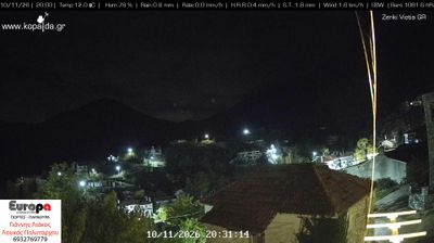
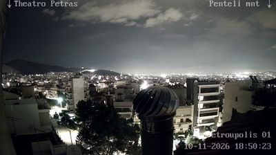

The foothills of Mount Cithaeron define the setting of the Plataies Municipal Unit — olive groves and cultivated fields extend across the Boeotian plain beneath its slopes. This part of Boeotia is closely associated with the Battle of Plataea in 479 BC, when a Greek alliance defeated Persian forces in a decisive episode of the Greco-Persian Wars. The archaeological site of ancient Plataea recalls a city that stood alongside Athens and played a role in the Peloponnesian War. Find related webcams in Boeotia and around Mount Cithaeron to build a fuller picture of the Plataies area.
2 webcams
Thessaly and Central Greece occupy a broad central stretch of mainland Greece. The Thessalian Plain, long associated with farming, lies between the Pindus Mountains to the west and the Aegean coast to the east, while Central Greece reaches south toward Mount Parnassus and the Gulf of Corinth. In northern Thessaly, the monasteries of Meteora stand atop towering rock pillars and form a UNESCO World Heritage site. Farther south, Delphi, on Parnassus, was one of the most important sanctuaries of the ancient Greek world. Together these areas link cultivated plains, rugged ranges and historic towns. Trace how Thessaly and Central Greece connect across mainland Greece by browsing webcams nearby.
197 webcams
Greece occupies a mountainous peninsula and island-dotted coastline in southeastern Europe. The Aegean Sea shapes its eastern shore, while the Ionian Sea lies to the west; Crete is the country’s largest island. Athens is anchored by the Acropolis, where the Parthenon has stood since the fifth century BCE as a defining monument of classical antiquity. Beyond the capital, the Pindus Mountains run through the mainland, and Mount Olympus is associated in ancient Greek religion with the home of the gods. Greek food traditions centre on olive oil, seafood, cheeses and regional dishes, with long meals remaining an important part of social life. Continue through nearby webcams to explore the islands and mainland regions of Greece.
504 webcams