 Minamiboso: Haraoka beaches - Tadara Kitahama Beach
Tokyo Bay defines the setting of Minamiboso — along the Haraoka and Tadara Kitahama shore, its sheltered water meets a narrow, pine-edged strip of beach beneath the low hills of the Bōsō Peninsula. This is the Uchibō, or inner-bay, coast of Chiba Prefecture, facing west across the bay toward the Miura Peninsula. Haraoka Beach is known for its wooden pier, a modest local landmark extending from the sand into the bay. The neighbouring beaches remain part of a working coastal district rather than a resort skyline: seawalls, small harbour structures and scattered homes follow the curve of the shore. Minamiboso was created in 2006 through the merger of seven former municipalities, bringing this bay coast together with a broad southern section of the peninsula. It is a place for unhurried shoreline walks and a close look at the everyday geography of Tokyo Bay.
Generated by AI

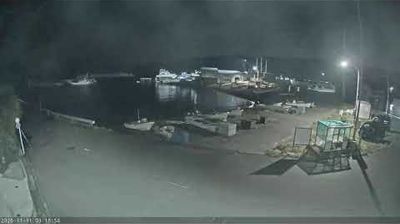
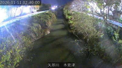


Among the cities of Chiba Prefecture, Minamiboso stands out for occupying the southern end of the Boso Peninsula, between the Pacific Ocean and the approaches to Tokyo Bay. Its municipal area combines coastal districts, farmland and low hills rather than one dense urban centre. At Cape Nojimazaki, the peninsula’s southernmost point, Nojimazaki Lighthouse is a prominent landmark facing the open Pacific. Minamiboso was created in 2006 through the merger of six towns and one village, while local identities from the former Awa area remain evident. Seafood, flower cultivation and roads along the coast shape daily life here. Continue with other webcams from the area to see how this part of the Boso Peninsula connects regionally.
1 webcam
Chiba Prefecture occupies the Bōsō Peninsula on Japan’s Pacific coast. Its western shore faces Tokyo Bay, while the Pacific shapes the peninsula’s eastern and southern coasts; the Tone River marks much of its northern boundary. The prefecture combines Tokyo’s commuter cities with rice-growing countryside, fishing ports and beaches farther along the peninsula. Narita is home to Naritasan Shinshō-ji, a major Buddhist temple founded in 940, as well as Narita International Airport. Kujūkuri Beach follows a long sandy stretch of coast, and the Tokyo Bay Aqua-Line connects western Chiba with Kanagawa. Discover other points of interest through webcams located across Chiba Prefecture.
21 webcams
Among the countries of East Asia, Japan stands out for its volcanic archipelago, stretching from the cool north of Hokkaido to subtropical Okinawa. Mount Fuji, the nation’s highest mountain, rises above central Honshu, while the Pacific Ocean and the Seto Inland Sea have long shaped settlement, fishing and travel. Tokyo pairs dense urban life with major museums and neighbourhood traditions; Kyoto preserves temples, gardens and the legacy of Japan’s imperial court. Seasonal customs give journeys a changing rhythm, from spring cherry blossom viewing to autumn leaves. Regional cooking is equally varied, with sushi, ramen and local specialties reflecting coastlines, climate and agriculture. Explore nearby webcam locations that provide complementary perspectives on Japan’s islands, cities and mountain regions.
1.3K webcams