 Wallgau: Alpenwelt Karwendel - Maxhütte

Wallgau occupies a broad section of the Upper Isar valley in Bavaria, between the Karwendel mountains and the Wetterstein range. The settlement belongs to the Werdenfelser Land, a borderland shaped by Alpine farming, woodland and old routes through the mountains. Meadows and scattered farmsteads extend around a compact village centre, while the Isar runs through the valley east of Wallgau. Many houses retain the region’s deep-eaved timber balconies and Lüftlmalerei, the painted-façade tradition associated with Upper Bavaria. Wallgau lies near Krün and Mittenwald, within the mountain country south of Garmisch-Partenkirchen. Despite the wider area’s long connection with hiking, cycling and winter sports, it remains a small rural community.
Generated by AI
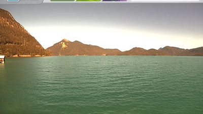
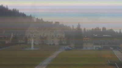
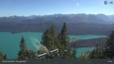
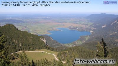
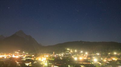

Wallgau has served as a settlement in Upper Bavaria since the early Middle Ages. It stands near the upper Isar, where the broad valley approaches the northern reaches of the Karwendel range; Barmsee, one of several small lakes nearby, provides a calm contrast to the alpine setting. Wallgau retains the scale of a Bavarian rural community, with farmhouses and guesthouses reflecting regional building traditions rather than an urban centre. The parish church of St. Jakob is a village focal point and recalls the area’s Catholic heritage. Walking and cycling routes follow the Isar valley, while nearby Mittenwald adds a larger cultural stop. Find related webcams in the Upper Isar valley to build a fuller picture of Wallgau and the Bavarian Alps.
1 webcam
Built around the early medieval Duchy of Bavaria, Bavaria grew into Germany’s largest federal state. The Danube crosses its broad centre, while the Bavarian Alps form its southern edge and include the Zugspitze, Germany’s highest mountain. Munich is the state capital and the home of Oktoberfest, a festival rooted in an 1810 royal wedding. Beyond the metropolis, Franconia’s vineyards, Swabian towns and Alpine resorts reveal how varied this part of Germany can be. Browse additional webcams from the surrounding area to extend your view of Bavaria.
867 webcams
Germany stretches from the North Sea and Baltic Sea coasts to the Alps on its southern border, encompassing northern plains, river valleys and forested uplands. The Rhine, Danube and Elbe have long connected its regions, while the Black Forest and Bavarian Alps give the south a more dramatic relief. Berlin’s Brandenburg Gate and Museum Island reflect the capital’s role in German history and culture. Cologne Cathedral, a UNESCO World Heritage Site, rises above the Rhine, and the Bauhaus movement, founded in Weimar in 1919, transformed modern design far beyond Germany. Regional cooking, Christmas markets and brewing traditions bring further character to daily life. Browse additional webcams from the surrounding area to extend your view of Germany.
2.8K webcams