 San Cristobal de La Laguna
San Cristóbal de La Laguna straddles the upland between the Anaga Mountains and Tenerife’s north coast in the Canary Islands, a position that made it a historic inland centre and a key road-and-air link for the island. The TF-5 motorway runs past the Los Rodeos area beside Tenerife Norte–Ciudad de La Laguna Airport, connecting the city with Santa Cruz de Tenerife and northern communities. La Laguna’s old town, laid out after the late-15th-century Castilian conquest, is a UNESCO World Heritage site for its largely intact colonial-era urban plan. Streets and patios in the historic core contrast with the busy transport corridors on the surrounding plain. The city’s name recalls the lagoon that once occupied this basin.
Generated by AI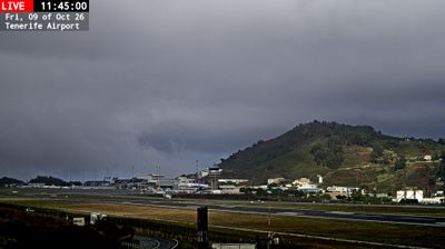
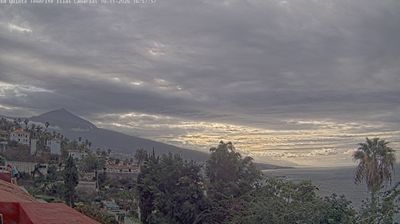

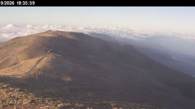
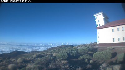


Among the cities of the Canary Islands, San Cristóbal de La Laguna stands out for its UNESCO-listed historic centre, a planned inland city on Tenerife that helped shape urban design in the Americas. Set on the La Laguna plain below the Anaga Mountains, it was Tenerife’s capital until 1833 and retains an unusually coherent network of streets and courtyards. The old town’s churches, convents and patrician houses reflect the island’s role in Atlantic trade after the Castilian conquest. The University of La Laguna adds a lively academic presence to its historic districts. See how San Cristóbal de La Laguna fits within northern Tenerife by browsing webcams nearby.
2 webcams
The Canary Islands have served as an Atlantic crossroads within Spain since the fifteenth century. This volcanic archipelago lies off northwestern Africa, where the Atlantic Ocean, trade winds and sharply varying terrain shape climates ranging from dry coasts to cool uplands. Tenerife is home to Mount Teide, Spain’s highest peak, while the Teide National Park is a UNESCO World Heritage Site. Across the islands, black-sand shores, lava fields and cultivated slopes reflect their volcanic origins. Carnival traditions, especially those of Santa Cruz de Tenerife, remain an important part of the local calendar. View additional webcams nearby to better understand how the Canary Islands relate to the Atlantic and to one another.
72 webcams
Spain extends from the Cantabrian coast to the Canary Islands, encompassing Atlantic shores, Mediterranean beaches and the broad interior Meseta. The Pyrenees form its northeastern frontier, while the Guadalquivir crosses Andalusia on its way to the Atlantic. Madrid anchors the country’s political and cultural life, but distinct regional identities are central to Spain’s character: Catalonia, the Basque Country, Galicia and Andalusia each have their own languages or strong local traditions. Granada’s Alhambra is a major monument of the medieval Nasrid dynasty, and Santiago de Compostela remains the destination of the Camino de Santiago. Browse related webcams around the Iberian Peninsula to build a fuller picture of Spain.
1.3K webcams