 Kochel am See
 has served as a settlement in Upper Bavaria since the early Middle Ages. Its municipal area extends from Kochelsee into the Bavarian Alps to Walchensee, a mountain lake enclosed by steep wooded slopes and ridges. At 192 metres deep, Walchensee ranks among Germany’s deepest lakes; since 1924, its water has supplied the Walchensee Hydroelectric Power Station through tunnels leading to lower-lying Kochelsee. The lakeshore includes Urfeld, and the surrounding terrain is used for walking, cycling and watersports. In Kochel am See, the Franz Marc Museum recalls the Expressionist painter, who lived and worked in the area.
Generated by AI
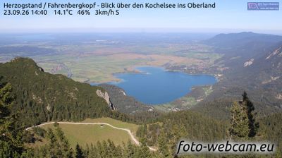
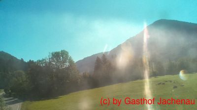
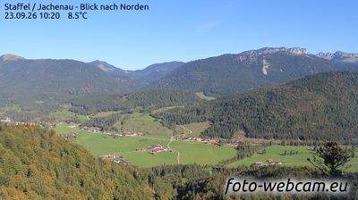
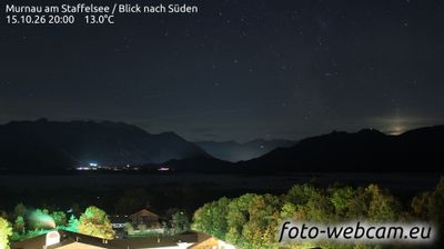
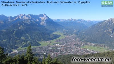
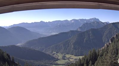

Few towns in Bavaria have a history as closely tied to Alpine hydropower as Kochel am See. Set on the southern shore of Kochelsee, the community lies at the northern foot of the Bavarian Alps, where lake country meets steep mountain terrain. The Walchensee Power Plant, commissioned in 1924, channels water from the higher Walchensee down to Kochelsee and remains a landmark of German engineering. Kochel also hosts the Franz Marc Museum, dedicated to the Expressionist painter and art of the Blue Rider circle. Browse other webcams across the Bavarian Alps and Upper Bavaria to place this setting in a wider geographic context.
3 webcams
Built around the early medieval Duchy of Bavaria, Bavaria grew into Germany’s largest federal state. The Danube crosses its broad centre, while the Bavarian Alps form its southern edge and include the Zugspitze, Germany’s highest mountain. Munich is the state capital and the home of Oktoberfest, a festival rooted in an 1810 royal wedding. Beyond the metropolis, Franconia’s vineyards, Swabian towns and Alpine resorts reveal how varied this part of Germany can be. Browse additional webcams from the surrounding area to extend your view of Bavaria.
652 webcams
Germany stretches from the North Sea and Baltic Sea coasts to the Alps on its southern border, encompassing northern plains, river valleys and forested uplands. The Rhine, Danube and Elbe have long connected its regions, while the Black Forest and Bavarian Alps give the south a more dramatic relief. Berlin’s Brandenburg Gate and Museum Island reflect the capital’s role in German history and culture. Cologne Cathedral, a UNESCO World Heritage Site, rises above the Rhine, and the Bauhaus movement, founded in Weimar in 1919, transformed modern design far beyond Germany. Regional cooking, Christmas markets and brewing traditions bring further character to daily life. Browse additional webcams from the surrounding area to extend your view of Germany.
2.3K webcams