 Lososina Dolna
Łososina Dolna sits in the Łososina valley in Poland’s Lesser Poland Voivodeship, where cultivated ground lies between the rounded hills of the Beskid Wyspowy. The settlement is north of Nowy Sącz, near Lake Rożnów, the reservoir on the Dunajec into which the Łososina flows. Its local airfield, used by Aeroklub Podhalański, connects this rural area with recreational flying and gliding. Broad level fields contrast with homes scattered up the neighbouring slopes, a familiar settlement pattern in this foothill part of Małopolska. The nearby Dunajec valley is shaped by the Rożnów Dam and reservoir.
Generated by AI

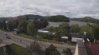




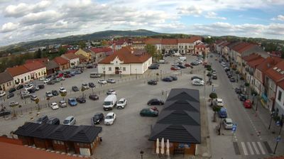

Łososina Dolna has been a rural settlement in Lesser Poland since the Middle Ages. It lies where the Łososina River reaches Lake Rożnów, a Dunajec reservoir set among the rolling ridges of the Carpathian foothills. The village is known for its 17th-century wooden Church of All Saints, included on the Lesser Poland Wooden Architecture Route, and for the nearby Nowy Sącz–Łososina Dolna aerodrome. Lake shores, orchards and small farms give the area a distinctly local character, while Nowy Sącz and the Beskid ranges remain within the wider regional orbit. Browse additional webcams from the Lake Rożnów area to extend your view of Lesser Poland.
1 webcam
The Vistula valley and the Carpathian foothills shape much of Lesser Poland Voivodeship, linking Kraków’s metropolitan life with farming districts and mountain tourism along its southern edge. Kraków, Poland’s former royal capital, remains the cultural centre: Wawel Castle and the medieval Old Town stand above the river, within a UNESCO World Heritage-listed historic core. Farther south, the Dunajec cuts through the Pieniny, while the Tatra Mountains form a highland frontier with Slovakia. The Wieliczka Salt Mine, worked from the Middle Ages, recalls the importance of salt to the old Polish state. Move on to other webcams in the region to compare landscapes and settings around Lesser Poland Voivodeship.
82 webcams
Poland stretches from the Baltic Sea coast in the north to the Carpathian Mountains along its southern frontier, encompassing broad lowlands, lake districts and upland ranges. The Vistula, the country’s longest river, links Kraków and Warsaw before reaching the Baltic near Gdańsk, while the Masurian Lake District is defined by a dense network of lakes. Kraków’s historic centre, including Wawel Castle, recalls Poland’s former royal capital; Warsaw’s rebuilt Old Town speaks to the city’s recovery after the Second World War. The Białowieża Forest preserves one of Europe’s last primeval lowland forests and is home to European bison. Follow how Poland’s regions relate to one another by browsing webcams across the country.
711 webcams