 Donauworth: Liebfrauenmünster, Zugspitze

The Danube defines the setting of Donauwörth — meeting the Wörnitz here, it shapes a town of wooded banks, floodplain and low Bavarian uplands. Donauwörth grew at an important crossing between Swabia and Franconia and was a Free Imperial City for centuries. Its historic spine is Reichsstraße, a long market street of gabled burghers’ houses, the town hall and the Rieder Tor. The town is also on Germany’s Romantic Road, while nearby Schellenberg recalls a battle fought in 1704 during the War of the Spanish Succession. This relationship between river crossing, trade route and fortified town remains central to Donauwörth’s character.
Generated by AI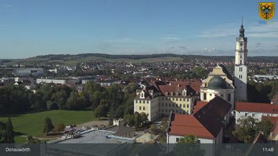
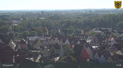
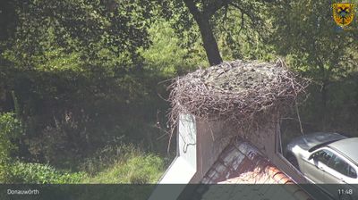
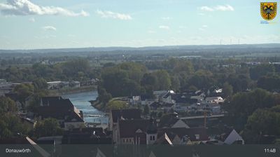

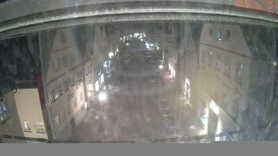


The Danube and Wörnitz define the setting of Donauwörth — their confluence has shaped a town built around routes, bridges and river commerce in northern Bavaria. The old centre rises above the meeting of the waters, while the historic Reichsstraße runs through a sequence of tall, gabled burgher houses. Donauwörth was a Free Imperial City of the Holy Roman Empire, a status reflected in its imposing Rathaus on this central street. The town also lies on Germany’s Romantic Road, linking it to a long-established route through Bavarian and Franconian historic towns. Find related webcams in the surrounding Danube–Wörnitz area to build a fuller picture of Donauwörth.
5 webcams
Built around the early medieval Duchy of Bavaria, Bavaria grew into Germany’s largest federal state. The Danube crosses its broad centre, while the Bavarian Alps form its southern edge and include the Zugspitze, Germany’s highest mountain. Munich is the state capital and the home of Oktoberfest, a festival rooted in an 1810 royal wedding. Beyond the metropolis, Franconia’s vineyards, Swabian towns and Alpine resorts reveal how varied this part of Germany can be. Browse additional webcams from the surrounding area to extend your view of Bavaria.
754 webcams
Germany stretches from the North Sea and Baltic Sea coasts to the Alps on its southern border, encompassing northern plains, river valleys and forested uplands. The Rhine, Danube and Elbe have long connected its regions, while the Black Forest and Bavarian Alps give the south a more dramatic relief. Berlin’s Brandenburg Gate and Museum Island reflect the capital’s role in German history and culture. Cologne Cathedral, a UNESCO World Heritage Site, rises above the Rhine, and the Bauhaus movement, founded in Weimar in 1919, transformed modern design far beyond Germany. Regional cooking, Christmas markets and brewing traditions bring further character to daily life. Browse additional webcams from the surrounding area to extend your view of Germany.
2.5K webcams