 Ilomantsi: Tie 522 - Hattuvaara - Ilomantsiin
Ilomantsi occupies a forested borderland in North Karelia, eastern Finland. Finland’s easternmost municipality, it stretches through a landscape of pine and spruce woods, wetlands and scattered lakes close to the Russian frontier. The Koitajoki River and Lake Koitere form part of its water network, while Road 522 runs northeast from the municipal centre towards Hattuvaara. Ilomantsi is closely associated with Karelian traditions, reflected in its Orthodox heritage and local food culture, including the Karelian pasty. Petkeljärvi National Park, established in 1956, protects narrow glacial ridges between lakes and underscores the area’s rural character, with settlements and forest holdings widely spaced across the borderland.
Generated by AI
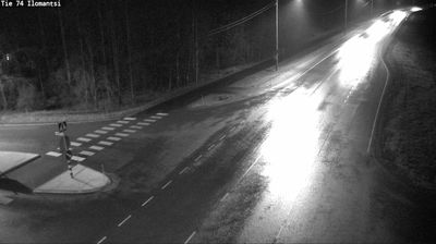
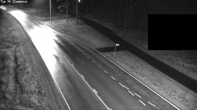
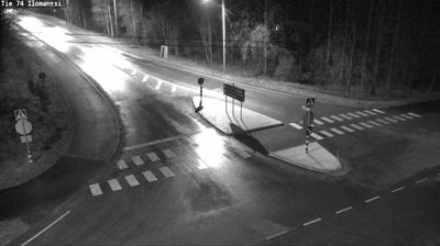

Ilomantsi lies along the Ilomantsinjoki River, amid North Karelia’s wooded lake country close to Finland’s eastern border. The municipality reaches Finland’s easternmost point, and its identity is shaped by the Karelian traditions shared across this borderland. The Orthodox Church of the Prophet Elijah reflects the area’s long-standing Orthodox presence. During the Continuation War, the Battle of Ilomantsi was fought here in 1944. Petkeljärvi National Park, within the municipality, protects terrain of lakes, forest and glacial ridges. Browse other webcams across North Karelia to place this setting in a wider geographic context.
5 webcams
Built around Lake Pielinen’s waterways, forest resources and eastern trade connections, North Karelia grew into a Finnish region with a strong Karelian identity. Its administrative centre, Joensuu, stands where the Pielisjoki River meets Lake Pyhäselkä; founded in 1848, the city remains the area’s principal urban hub. Farther north, Koli National Park rises above Pielinen and is associated with some of Finland’s best-known national landscapes. Forests, lakes and long distances define much of the region, while Karelian food, music and Orthodox traditions give it a cultural character distinct within Finland. View additional webcams nearby to better understand how North Karelia relates to eastern Finland and the Russian borderlands.
97 webcams
The terrain of Finland ranges from low coastal plains along the Gulf of Bothnia to fells in Lapland, creating a country of forests, lakes and long northern distances. More than 180,000 lakes shape everyday life, while the Lakeland region is threaded with waterways and islands. Helsinki, on the Gulf of Finland, combines neoclassical landmarks around Senate Square with contemporary Finnish design. Farther north, the Sámi are Finland’s only recognised Indigenous people, and their culture remains closely connected to the Arctic region. In winter, snow and ice transform the north; in summer, long daylight extends outdoor life well into the evening. Continue through nearby webcams to explore different parts of Finland.
1.7K webcams