 Polichni Municipal Unit
Polichni combines a settled hillside character with the metropolitan scale of Thessaloniki in a way that reflects its position above the Thermaic Gulf. This municipal unit lies northwest of central Thessaloniki, within the urban area extending from surrounding slopes toward the city’s port and waterfront. Housing, gardens and mature vegetation give its streets a more residential feel than the dense central districts. The Thermaic Gulf is the defining water body of this part of northern Greece, while Thessaloniki has long been the principal city of Greek Macedonia and a major Aegean port. Its Early Christian and Byzantine monuments were inscribed on the UNESCO World Heritage List in 1988, underlining the wider city’s historical importance. Polichni introduces a less central side of Thessaloniki.
Generated by AI


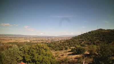


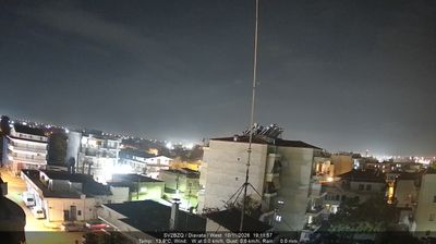
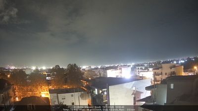


Few urban communities in Macedonia and Thrace have a history as closely tied to the refugee resettlement that followed the Greco-Turkish War of 1919–1922 as the Municipal Unit of Polichni. Developed on Thessaloniki’s northwestern outskirts, Polichni became part of the municipality of Pavlos Melas in 2011. It occupies the broad urban basin above the Thermaic Gulf, within Thessaloniki’s continuously built-up metropolitan area. The district’s character remains closely connected with the refugee families who established it, a heritage maintained through local community life and commemorations. Polichni also helps explain Thessaloniki’s major 20th-century expansion beyond its historic centre. Move on to other webcams in Macedonia and Thrace to compare landscapes and settings around Thessaloniki.
1 webcam
Macedonia and Thrace has served as a cultural crossroads in the Greek lands since antiquity. Around the lower Strymon River, fertile plains meet the foothills and routes that have long linked the Aegean coast with the Balkan interior. Ancient Amphipolis, founded by Athenians in 437 BC, grew beside a strategic crossing of the Strymon and later became an important Macedonian and Roman centre. Farther east, the archaeological site of Philippi recalls the Roman Via Egnatia and the region’s place in Mediterranean travel and trade. Browse other webcams across Macedonia and Thrace to place this setting in a wider geographic context.
70 webcams
Greece occupies a mountainous peninsula and island-dotted coastline in southeastern Europe. The Aegean Sea shapes its eastern shore, while the Ionian Sea lies to the west; Crete is the country’s largest island. Athens is anchored by the Acropolis, where the Parthenon has stood since the fifth century BCE as a defining monument of classical antiquity. Beyond the capital, the Pindus Mountains run through the mainland, and Mount Olympus is associated in ancient Greek religion with the home of the gods. Greek food traditions centre on olive oil, seafood, cheeses and regional dishes, with long meals remaining an important part of social life. Continue through nearby webcams to explore the islands and mainland regions of Greece.
501 webcams