 Katsushika
 lies along the Arakawa River, where broad floodplain embankments, riverside landings and elevated transport routes shape eastern Tokyo. The Horikiri boat landing occupies a working stretch of this heavily managed waterway, whose channel and levees form part of the capital’s long-running flood-control system. Though within Tokyo’s urban area, the river corridor preserves open ground and waterside infrastructure distinct from the dense neighbourhoods behind its dikes. Katsushika is also associated with the Horikiri Iris Garden, a celebrated iris-growing site depicted by Utagawa Hiroshige in his nineteenth-century series One Hundred Famous Views of Edo. The district’s mix of river engineering, local recreation and Edo-period cultural memory gives this stretch of the Arakawa its own identity.
Generated by AI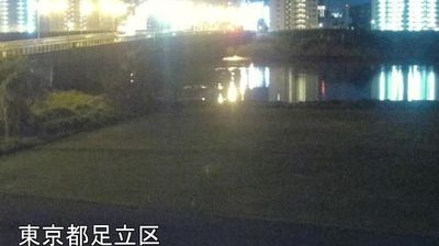
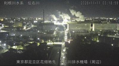

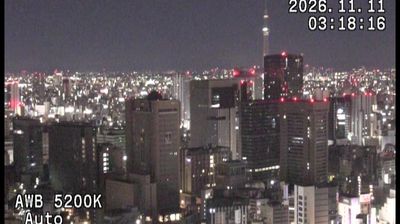

The low-lying landscape around Katsushika is defined by the Edogawa River and a network of canals, which have shaped both its urban layout and local economy. This northeastern ward of Tokyo retains a distinctly waterside character, with residential neighbourhoods, riverside paths and streets leading towards the old temple town of Shibamata. Shibamata Taishakuten, a Buddhist temple founded in 1629, is known for its elaborately carved wooden buildings and its connection with the long-running Tora-san film series. Taishakuten-sando, the traditional approach to the temple, is lined with shops serving snacks and local specialities. Move on to other districts in eastern Tokyo to compare the riverside settings around Katsushika.
2 webcams
Tokyo stretches from the Okutama Mountains to the Izu and Ogasawara island groups, encompassing urban lowlands, forested uplands and volcanic Pacific islands. These coordinates fall on Izu Oshima, the largest of the Izu Islands, where Mount Mihara forms the island’s volcanic core. Black-sand shores and lava terrain contrast with the capital’s built-up centre, showing how far Tokyo’s administrative territory reaches into the ocean. Izu Oshima is closely associated with camellias, and Oshima Tsubaki oil remains a recognised local product. Ferry links from the mainland make the island part of Tokyo’s wider maritime setting. See how Tokyo connects mainland Japan with its Pacific islands by browsing webcams nearby.
212 webcams
Among the countries of East Asia, Japan stands out for its volcanic archipelago, stretching from the cool north of Hokkaido to subtropical Okinawa. Mount Fuji, the nation’s highest mountain, rises above central Honshu, while the Pacific Ocean and the Seto Inland Sea have long shaped settlement, fishing and travel. Tokyo pairs dense urban life with major museums and neighbourhood traditions; Kyoto preserves temples, gardens and the legacy of Japan’s imperial court. Seasonal customs give journeys a changing rhythm, from spring cherry blossom viewing to autumn leaves. Regional cooking is equally varied, with sushi, ramen and local specialties reflecting coastlines, climate and agriculture. Explore nearby webcam locations that provide complementary perspectives on Japan’s islands, cities and mountain regions.
1.3K webcams