 Dearborn Heights: Crestwood High School
Dearborn Heights straddles the transition between Detroit’s urban sphere and its western suburbs in southeastern Michigan, a position that has shaped it as a residential community within the larger metropolitan area. Crestwood High School belongs to the Crestwood School District, serving established neighborhoods and local families. Ford Road is a principal east–west commercial corridor, while the Rouge River forms part of the area’s watershed. Dearborn Heights incorporated as a city in 1960, during the postwar expansion of suburban Detroit. Nearby Dearborn is closely associated with the automotive industry and major Arab American cultural institutions.
Generated by AI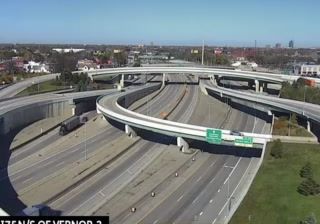


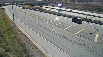

Dearborn Heights has served as a suburban community in metropolitan Detroit since its incorporation as a city in 1963. Set in southeastern Michigan, it is crossed by the Rouge River, part of the waterway system that flows onward to the Detroit River. The city developed from territory once associated with Dearborn Township, and its predominantly residential character reflects the expansion of Detroit’s industrial-era suburbs. Its location places it within a metropolitan area shaped by automobile manufacturing and successive waves of migration, while parks and neighborhood streets define daily life locally. Explore nearby webcam locations that provide complementary perspectives on Dearborn Heights and metropolitan Detroit.
1 webcam
Michigan has served as a Great Lakes frontier within the United States since the early 19th century. It spans two peninsulas, separated by the Straits of Mackinac, and touches Lakes Superior, Michigan, Huron and Erie. The Mackinac Bridge, opened in 1957, links the Upper and Lower Peninsulas. Around the central Lower Peninsula, farmland and woodland give way to river valleys and smaller cities; farther north, shorelines and forests set the pace. Detroit’s factories placed Michigan at the centre of the American automobile industry, a legacy still reflected in its museums, engineering and sporting culture. Explore nearby webcam locations that provide complementary perspectives on Michigan’s Great Lakes coasts and inland communities.
83 webcams
The Atlantic, Pacific and Gulf coasts define much of the United States — their ports, fisheries and trade routes have long tied the country’s economy to the wider world. Between them, the Rocky Mountains, Great Plains and Mississippi River basin form sharply different regions, from high western ranges to broad agricultural heartlands. Cities carry much of the national story: New York’s Statue of Liberty, a gift from France dedicated in 1886, remains an enduring symbol, while Washington, DC concentrates major federal institutions. Indigenous nations have shaped these lands for millennia, and their living cultures remain essential to the country’s identity. Find related webcams in the surrounding areas to build a fuller picture of the United States.
32K webcams